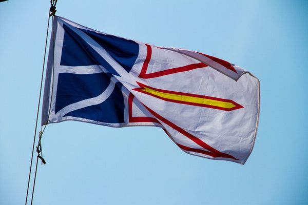
The provincial flag of Newfoundland and Labrador, adopted in 1980. The white represents snow and ice. The blue represents the sea. Red represents human effort. And the gold represents confidence in the future.
Newfoundland and Labrador remained under British rule until joining Canada in 1949. The book “Don’t Tell the Newfoundlanders, The True Story of Newfoundland’s Confederation” with Canada is a fascinating read. The purpose of the book is to expose the truth of how and why the independent country (Newfoundland and Labrador) “joined” Canada. The Great Depression of the 1930’s was put them into deep debt. But a come-back and eventual rich returns from resources found Newfoundland out of debt and into wealth at which time Canadian and British politicians bought and sold Canada rather underhandedly. This book is not identified as non-fiction, but I believe there is more on this topic that can substantiate the contents.
This basic map shows some of the larger towns on Newfoundland. The Tourist Map below has detail – if you can see it – of the southwest portion of the western coast up to Gros Morne National Park where we have reservations beginning July 12 for 4 nights at Shallow Bay Campground.
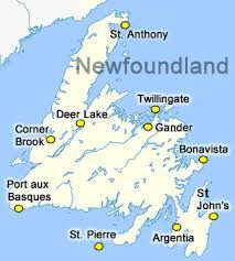
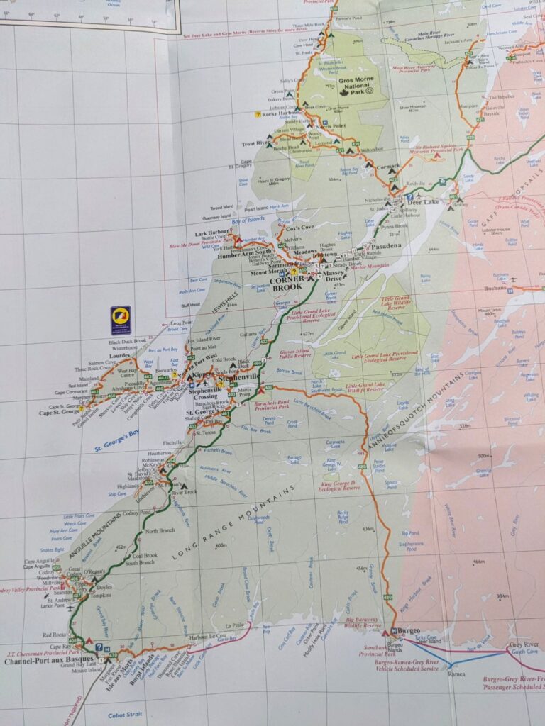
Our loose plan is to take a week to 10 days traveling up the west side from Port aux Basques (PaB) to the Viking Settlement at St. Anthony’s. Then retracing the route down to Deer Lake and begin crossing the island ending at St. John’s. Then, we’ll again retrace our route back to the west side to PaB for the return ferry on August 10th, or maybe later(!)
Day 1, Tuesday July 9
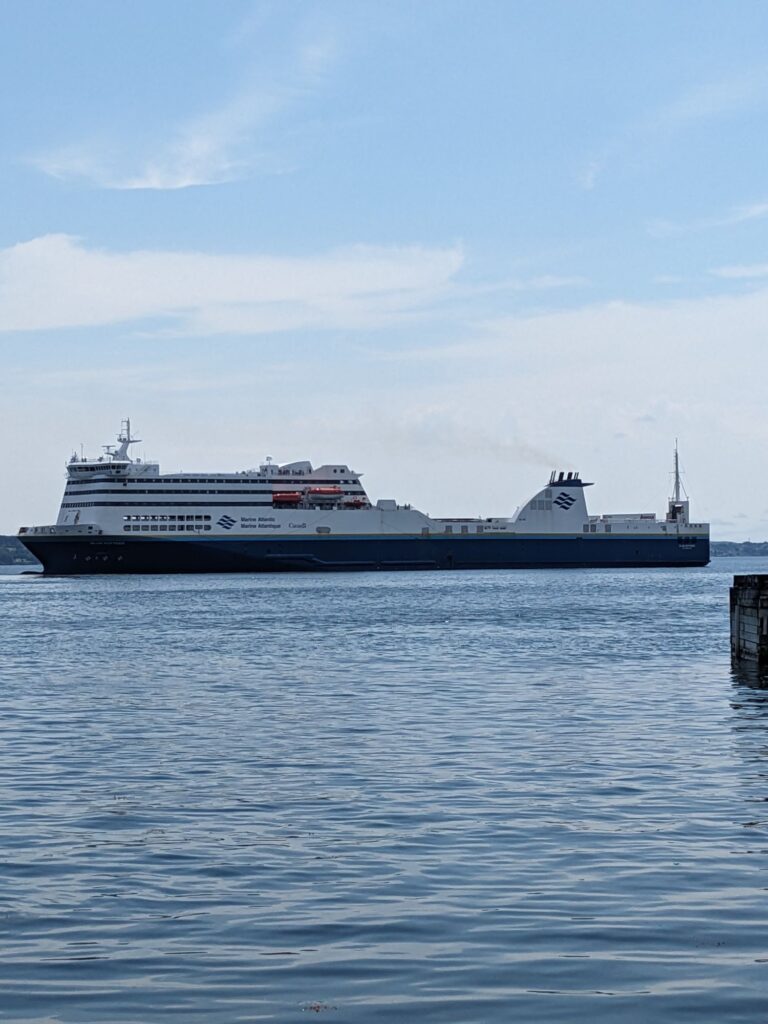
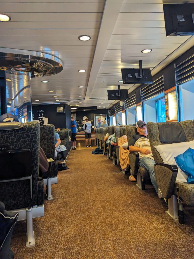
The Atlantic Marine ferry departs from N. Sydney on Cape Breton Island with destinations to Port aux Basques (7.5 hour sail) and St. John’s (16 hour sail).We were advised to make ferry reservations as soon as we knew we’d be traveling to Newfoundland (NL). Not being pre-planners, we delayed. One month – that’s pre-planning in my book – to our decided upon sailing date the friendly and helpful ferry fairies found us space on a 7.5 hour sailing. Marilyn in her shorter rig was stuffed onto a daytime ferry, while I boarded a less-than-full ferry at 11pm to dock at 7:15 the following morning. Not great, but I had all the next day to recuperate. And, I was able to meet Ephraim, a native of NL! The 5am coffee was pretty good and helped set the tone for the day. Note about ferry reservations: once a reservation is made, it’s fairly simple to change the dates.
Day 2, Wednesday July 10
Hello Newfoundland!! Everyone says you’re a MUST-SEE and EXPERIENCE! We’re excited to be here!
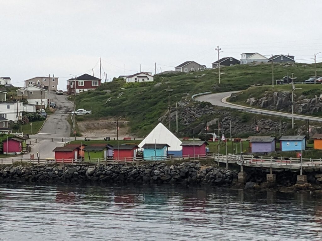
Calm seas for the ferry crossing, misty upon arrival at 7:15am, but within the hour the skies cleared. Below left is taken from the ferry. On the right is a hill of homes in PaB, a small town with very few amenities.
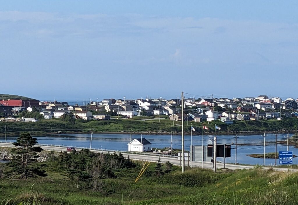
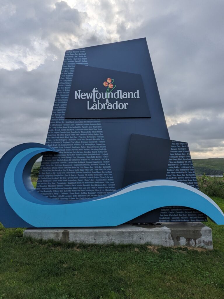
The welcoming Visitor Center is just 4 km out the road on the Trans-Canada Hwy 1 providing treasures of info tidbits that will become golden nuggets over the next several weeks. There’s also local Visitor Centers. It’s been recommended to stop at every one of them for gems of localized information.
The remainder of this first day for me is to connect with Marilyn at J.T. Cheeseman’s Provincial Park where we’ll overnight; I’ll cook some vegetables, shower, nap, and do some walking to and from the beach. The day is overcast, warm and quite humid.
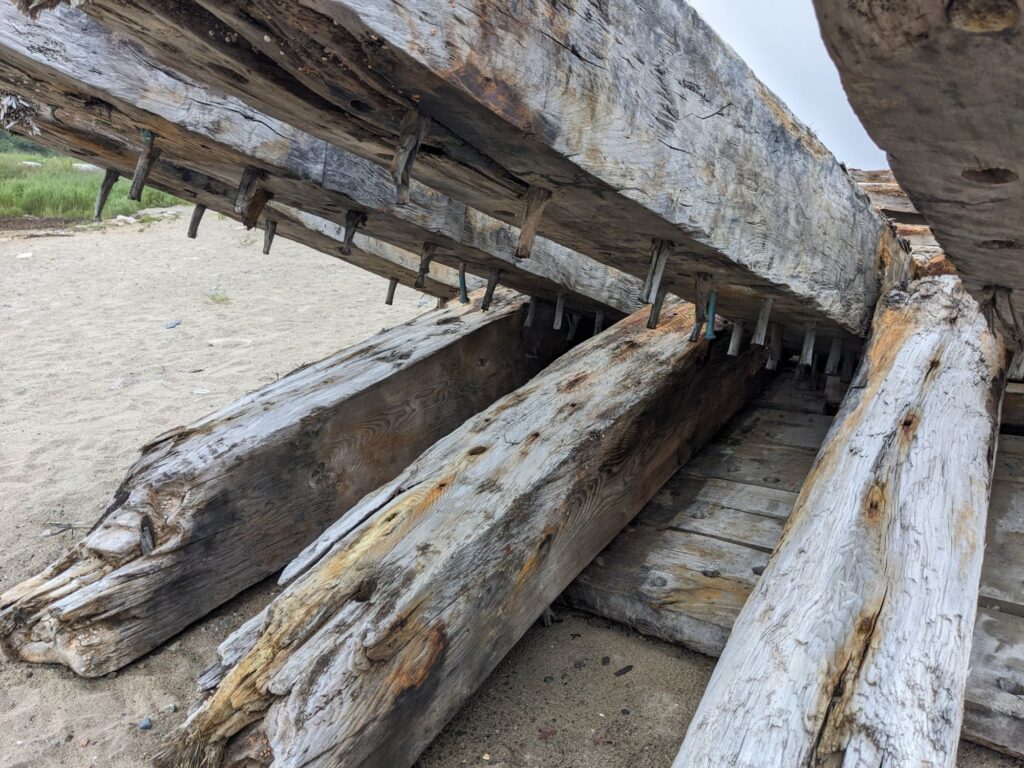
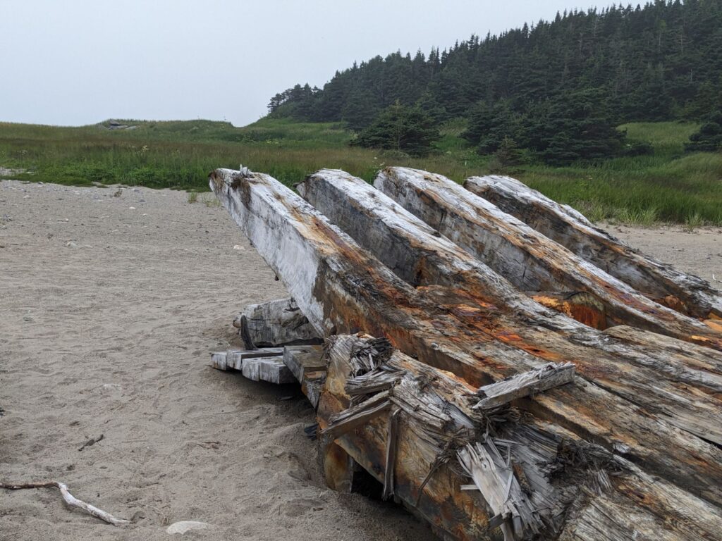
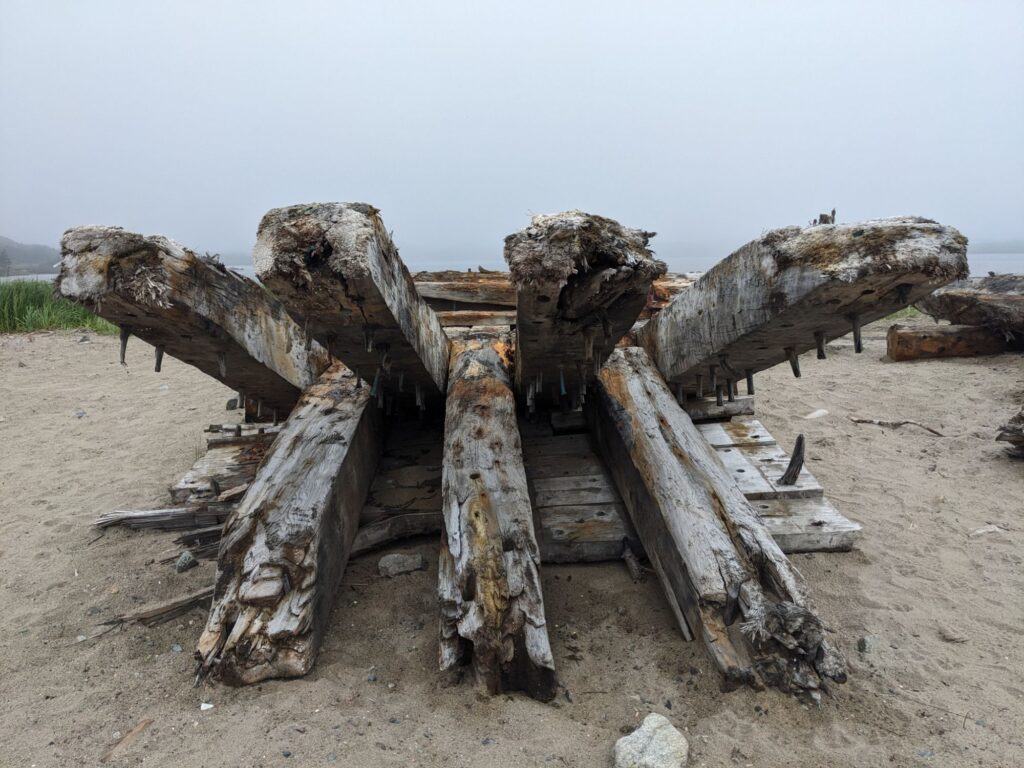
Out at the beach, about two kilometers from the campground, there’s several piles wreckage we determine must be from a boat. Sixty-eight year old Kenny stops by on this ATV to say hello. He’s never been off the rock except for vacations. And he’s every bit of what we’d heard Newfoundlander’s are about: warm and welcoming. With humor and smiles, the Newfoundland accent and perhaps early aging he’s a bit of a challenge to understand, but it’s doable. He informed us as to what the piles of wreckage are. More story surfaced upon Marilyn’s internet searches for ship wreck, Cape Ray. In 2022 Hurricane Fiona’s storm surge hit Newfoundland’s Southwest shores hard. Assumedly, the wreck was stirred up from it’s seafloor burial site. Just this past January, 2024, (date of Youtube video and news coverage) the wreck surfaced enough to be noticed. Locals from the small community of nearby Cape Ray worked to get it to shore but it’s severely broken apart now and the seas have moved parts of it elsewhere. It’s a big deal here. Speculation is it’s 200 years old. Try googling www.ctvnews.ca/canada/newfoundland-shipwreck-recovery-posing-a-challenge-to-residents for news coverage.
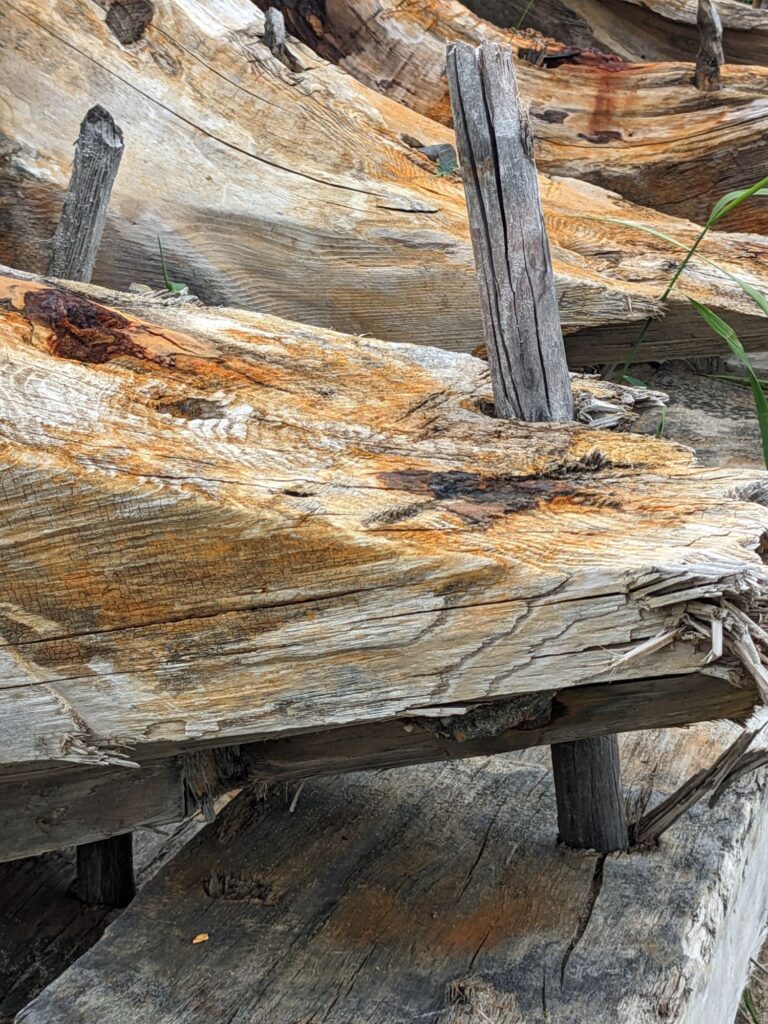
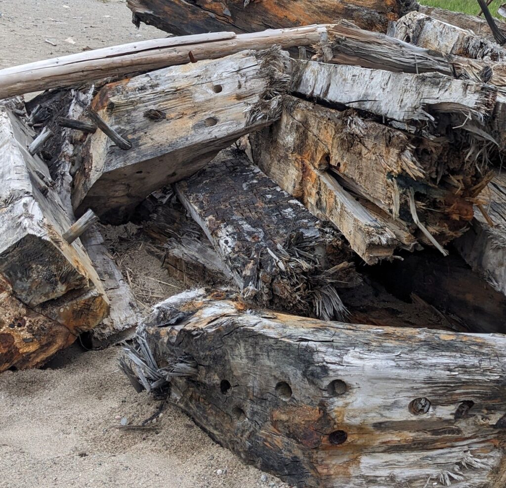
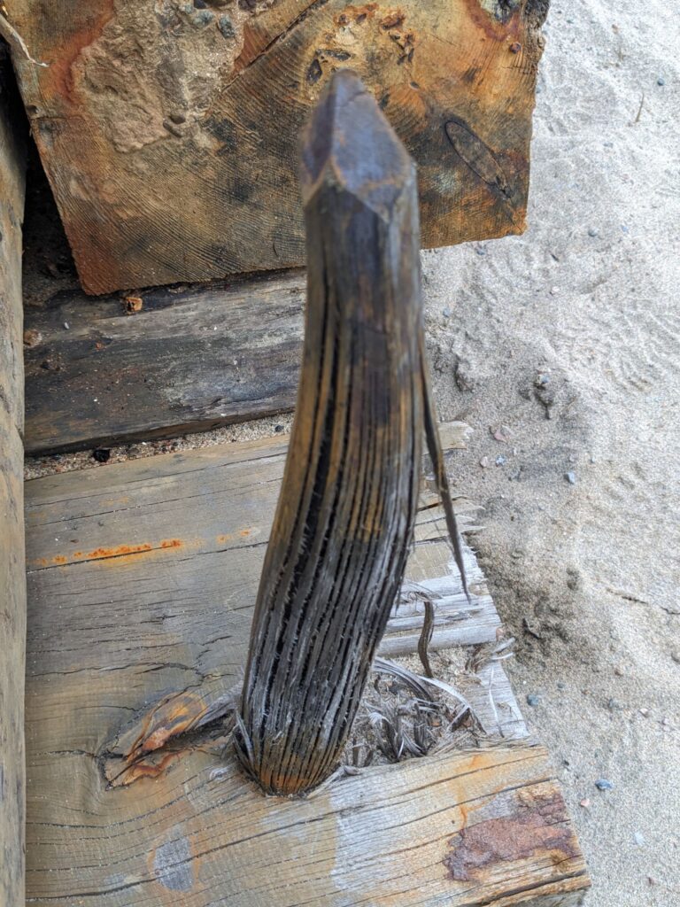
Photos: wooden plugs, huge beams, sharpened plug point. The enormity of the lumber used in building this ship brings to mind the Ship Building Museum we visited on Prince Edward Island. The vision of that island covered with tremendous virgin growth trees that would have been used in those constructions is stunning.
From the Parks Canada website: “this industry (wooden ship building) became the principal economic activity of Prince Edward Island from 1820 to 1880. With more than 900 vessels built in 22 shipyards during the peak decade of the 1860’s…”
How much time would it take to build just one ocean-worthy ship in the 1800’s? How large would a steam box need to be to bend the timbers and how much time would THAT take? I’d like to return to that museum to absorb more and imagine.
Day 3, Thursday July 11
Today we begin our ventures up the coast with the day starting out wet, raining and the fog horn of Cape Ray sounding in the near distance.
Our destination for tonight is boondocking somewhere near Corner Brook. It’s only a two and a half hour drive on a two-lane highway with passing lanes, trees and hills every which way one looks. Not much traffic on the road of gentle (usually) gradients and flat stretches.
On the way to Corner Brook we stop for a hike at Barachois Pond Provincial Park.
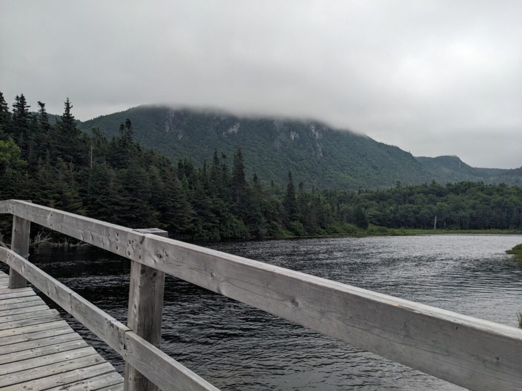
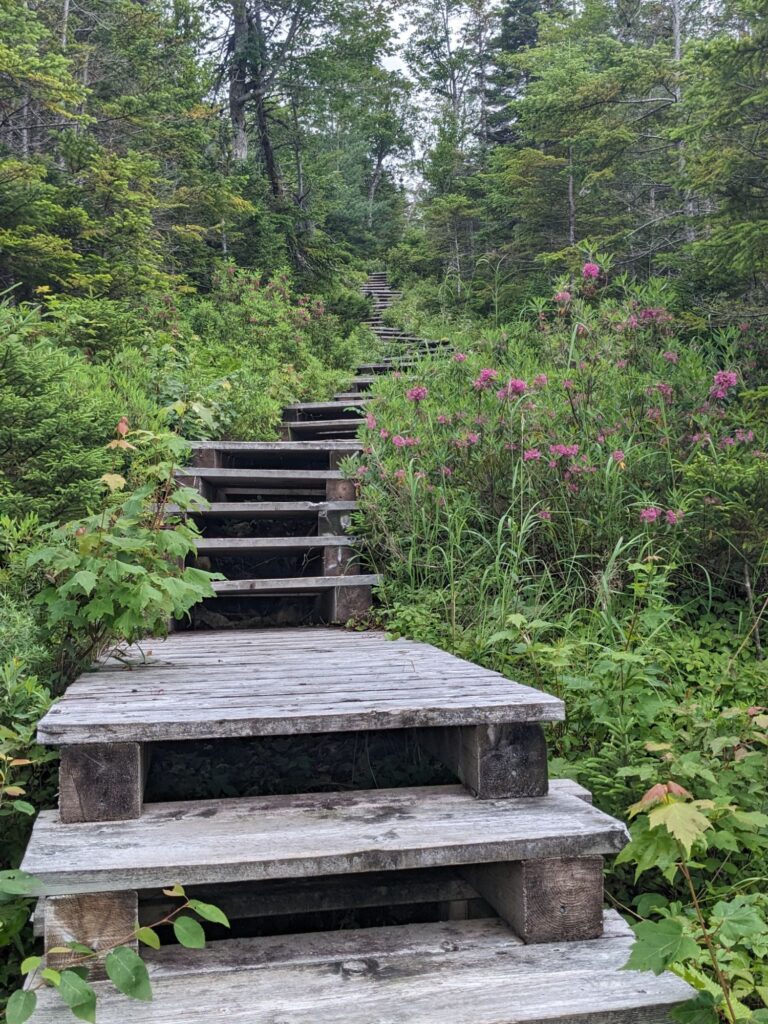
It stopped raining. The temperatures are 65 – 70 degrees today, but the humidity was icky high.
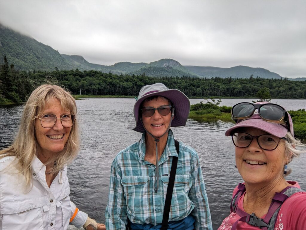
This photo was taken at the beginning of the hike when we’re all fresh and smiley. Debra is another full-time RV’er. I imagine we’ll cross paths off and on over the coming month in Newfoundland.
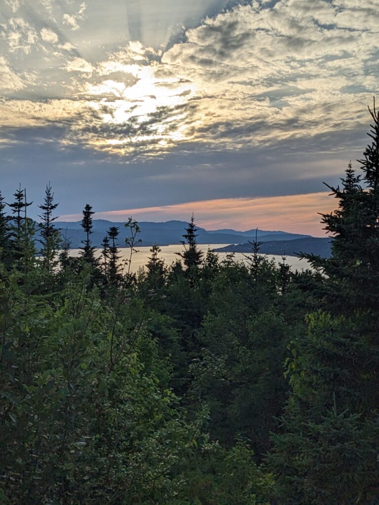
The day ended at Captain James Cook National Historic Site high on a hill above Corner Brook, a substantial town of about 30,000. Captain Cook really got around back in the 1700’s.
There’s plenty of boondocking available on NL
Boondocking: Camping, in an RV, for Free, outside of an established campground, without hookups or access to other amenities.
Tomorrow we’ll drive further north, to Gros Morne National Park.
Days 4 and 5, Friday and Saturday, July 12th and 13th
Friday, July 12th – It’s only a 2 hour drive from Corner Brook to Shallow Bay Campground in Gros Morne National Park, but we take the greater portion of a day to do it. With an informative stop at the Gros Morne Visitor Center, a stop in Rocky Harbor for a look-about and more explorations – we did not find much of interest here except the couple from England with their lovely accents and stories, and continued sunshine.
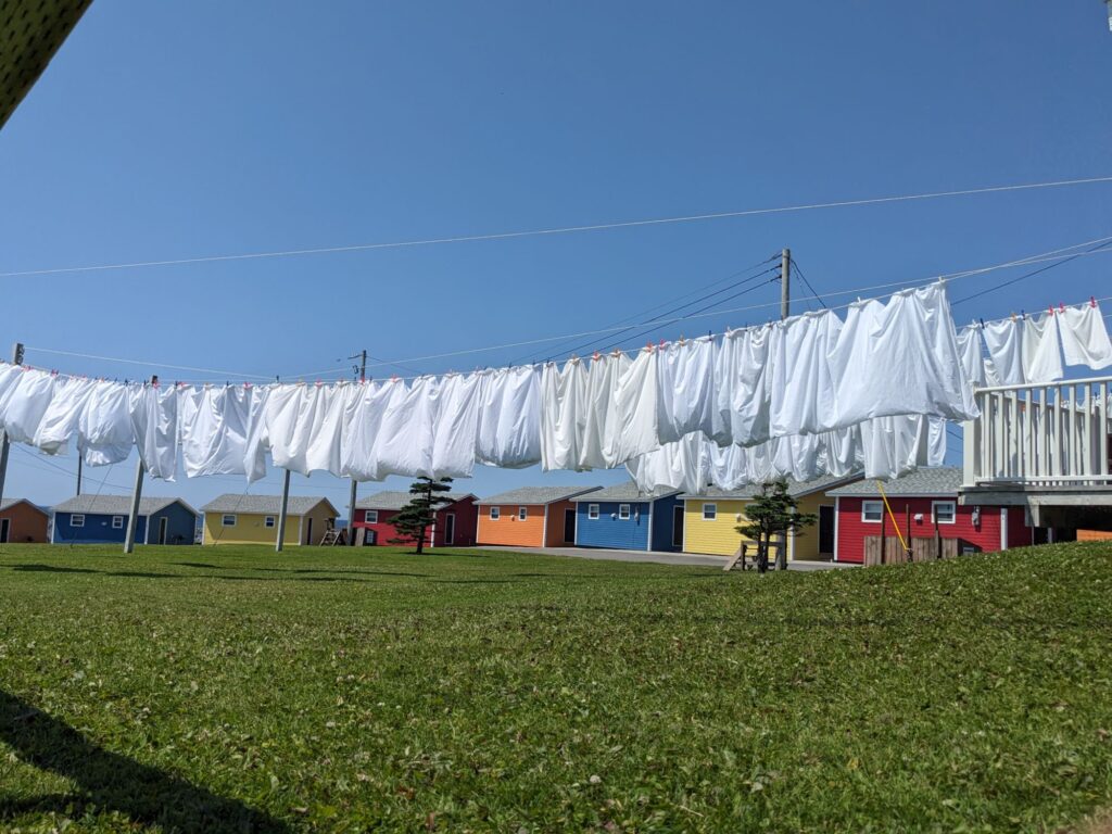
Dry and breezy locals prefer to air-dry their laundry. Colorful lodging cabins, lots of sheets.
Weather forecast in English, French, Celcius and Farenheit.
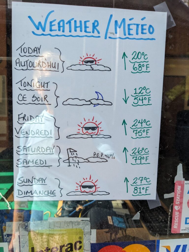
While much of Canada and the United States, and perhaps most of the world right now are experiencing unprecedented heat, we are definitely appreciating the mild temperatures and being near the sea.
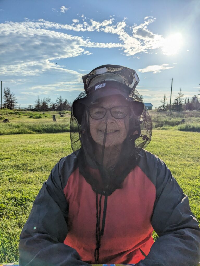
The pesky, biting little black flies at times keep us indoors or wary of staying covered up particularly at the nape of the neck. Mosquitoes are here as well, but so far have had less of a presence.
A short walk from my campsite bring view of Shallow Bay where the beach is long in both directions and the waters of the Gulf of St. Lawrence are comfortable swimming temps at this time of year.
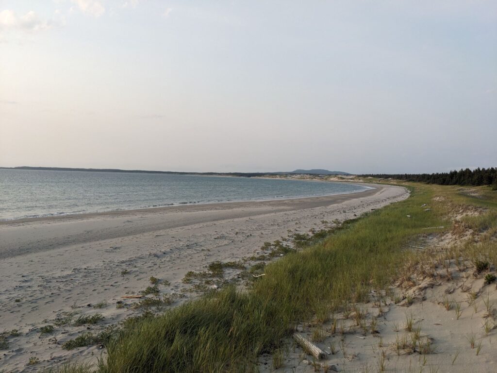
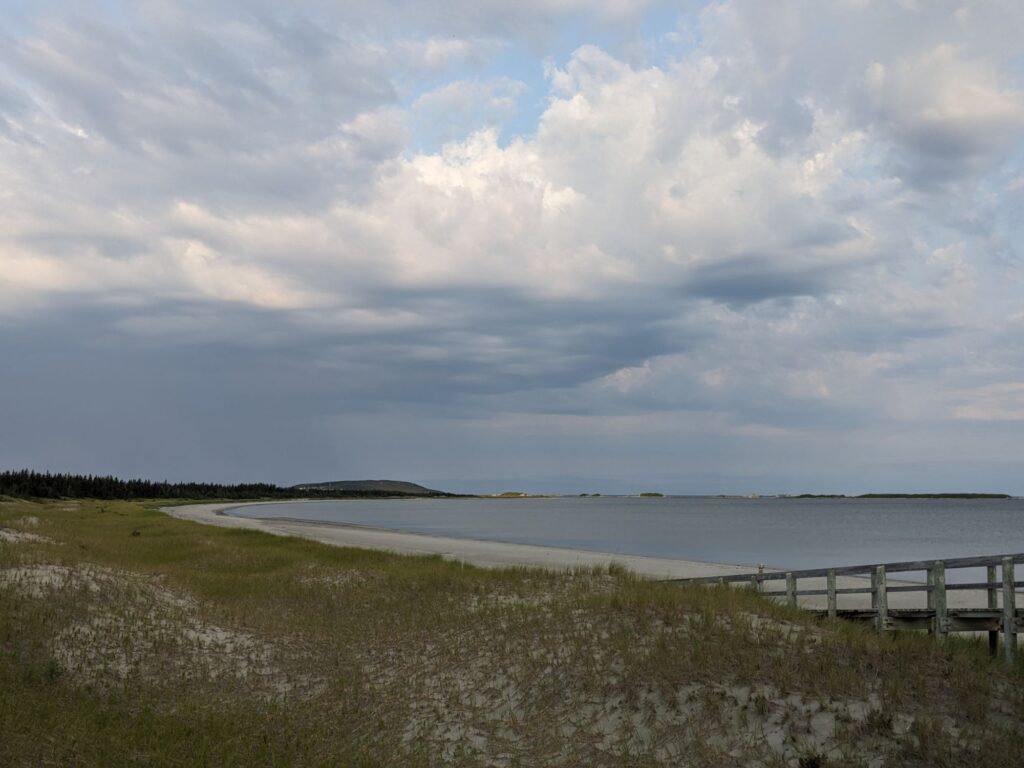
If we could see land across straight out from the beach it’d Labrador.
Saturday, July 13th
Today is for spontaneity. Knowing we’ll be coming thru Gros Morne National Park after traveling up-island to Saint Anthony there isn’t a feeling of ‘gotta do it all’ right now. We venture with the intention of doing some walking trails. However we get caught up at Whale’s Back Grub Hub (and retail shop) for coffee and a game of cribbage. Marilyn finds herself purchasing her first cribbage board, in the shape of a moose! And Emily, the 27 year old behind the counter has time to chat letting us know about her journey to Come Home to Newfoundland after 25 years away in Ontario.
Onward to Green Point Geological Site. Designated a World Heritage Site by UNESCO, Gros Morne is designated a World Heritage Site by UNESCO in particular for it’s geology.
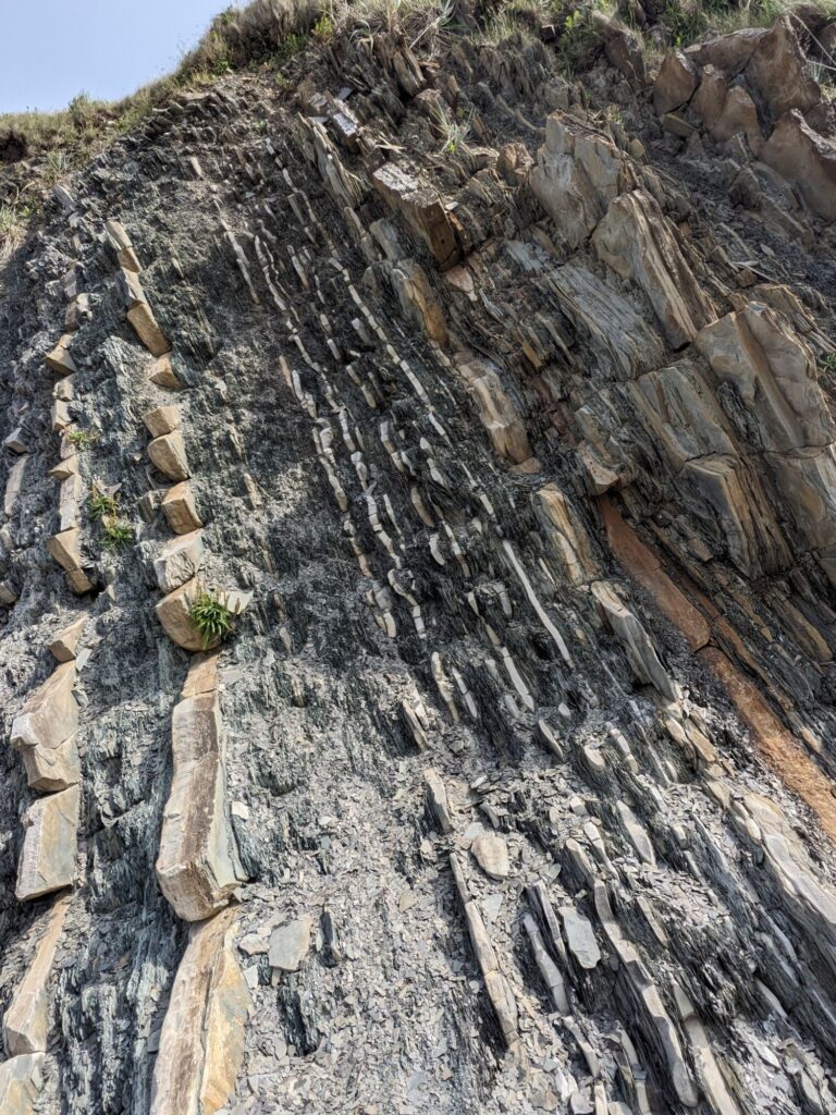
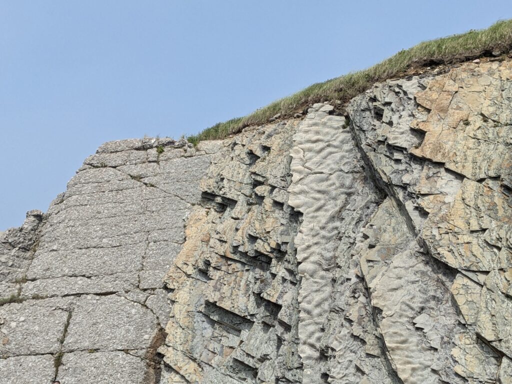
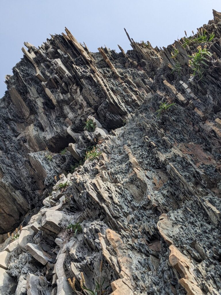
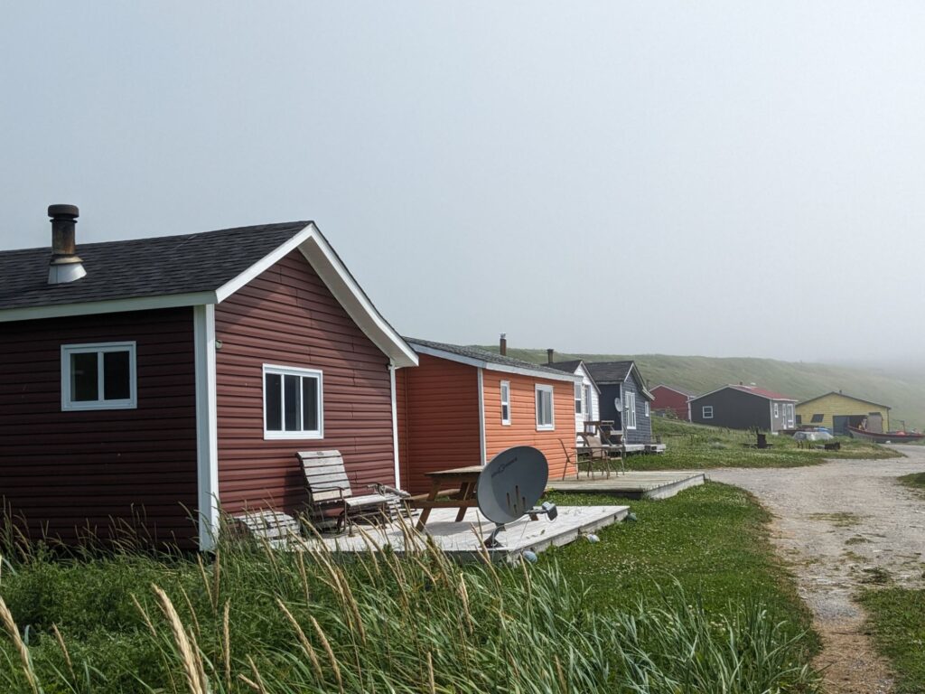
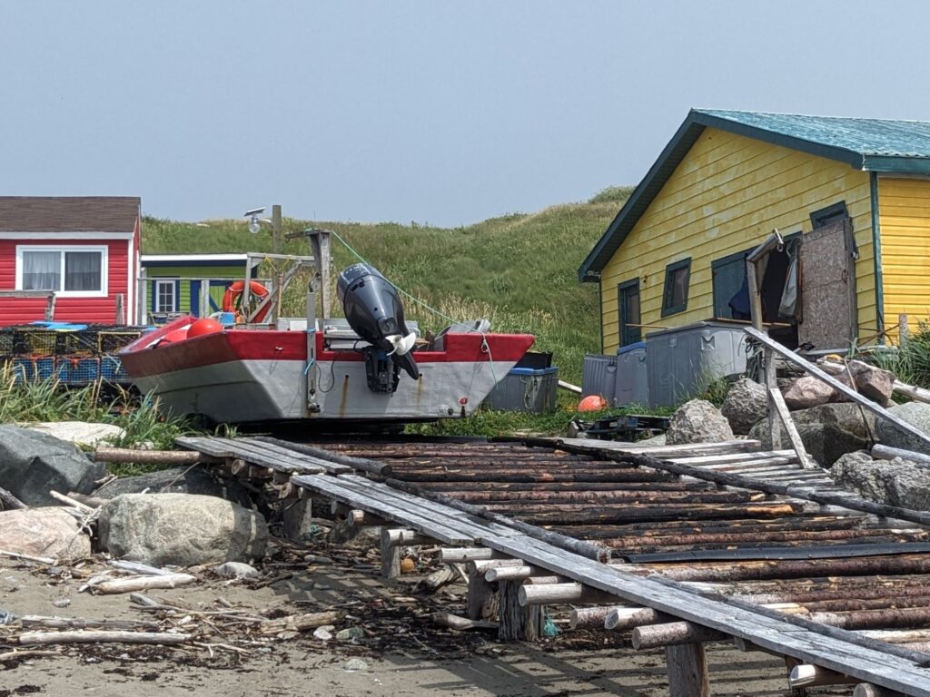
Adjacent to these exposed geologic gems are a handful of cottages for fishers and/or summer living.
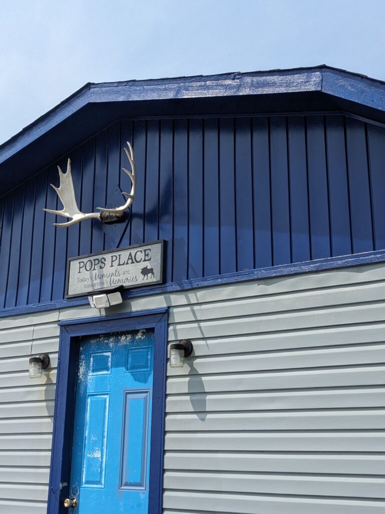
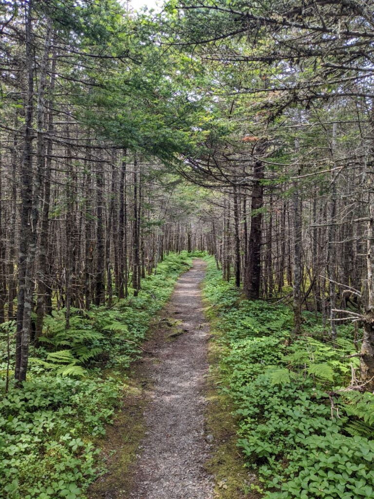
A 2km walk around Berry Head Pond, partially on boardwalk.
The density and slenderness of the tree trunks is not uncommon. Balsam Fir, Black Spruce and White Spruce are common evergreens in the park.
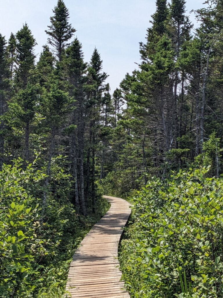
It was a lovely walk around the pond with great views on a beautiful day.
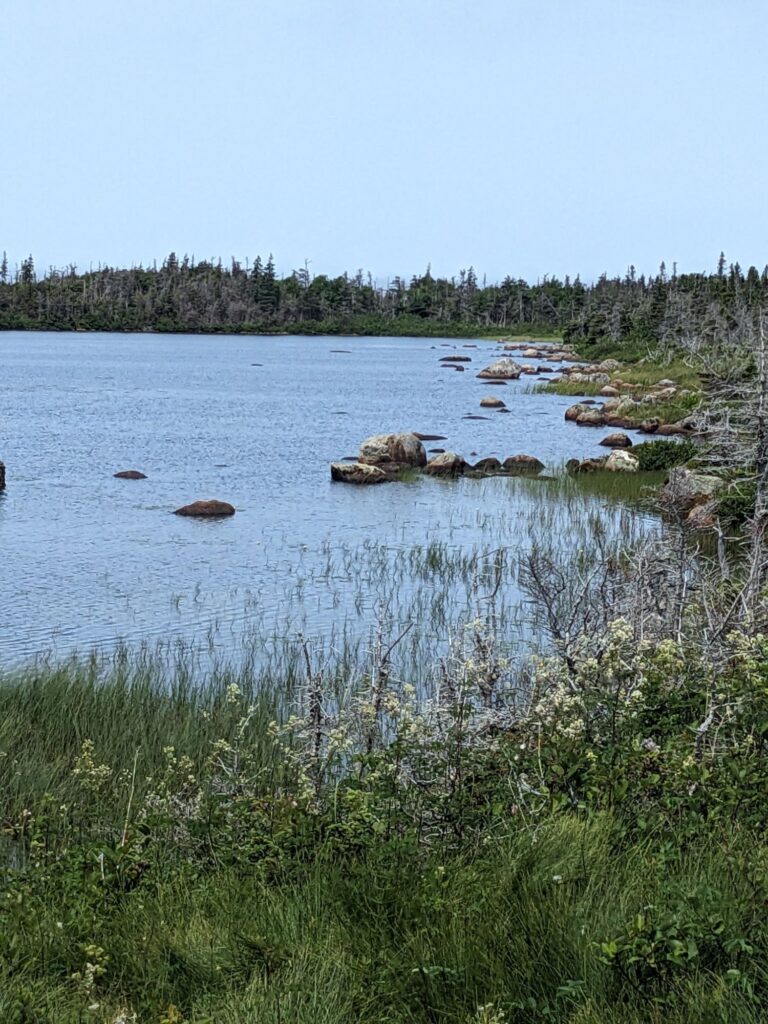
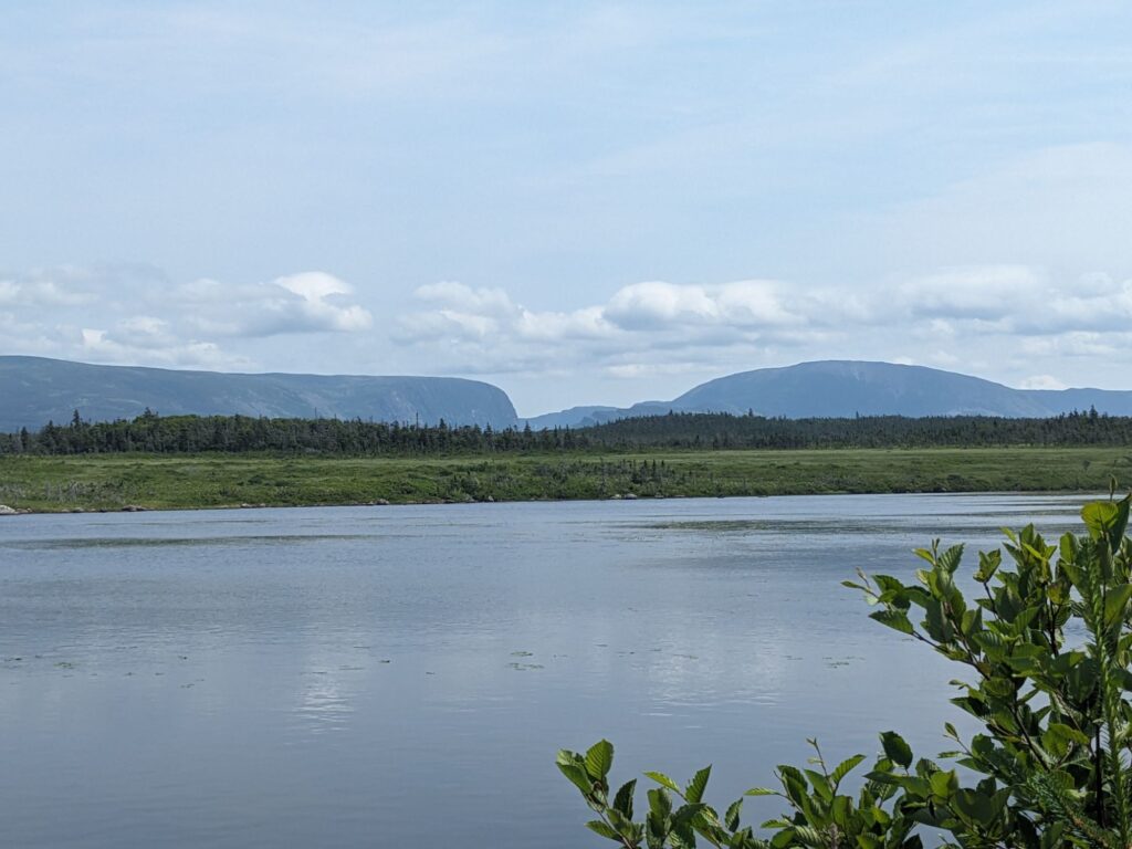
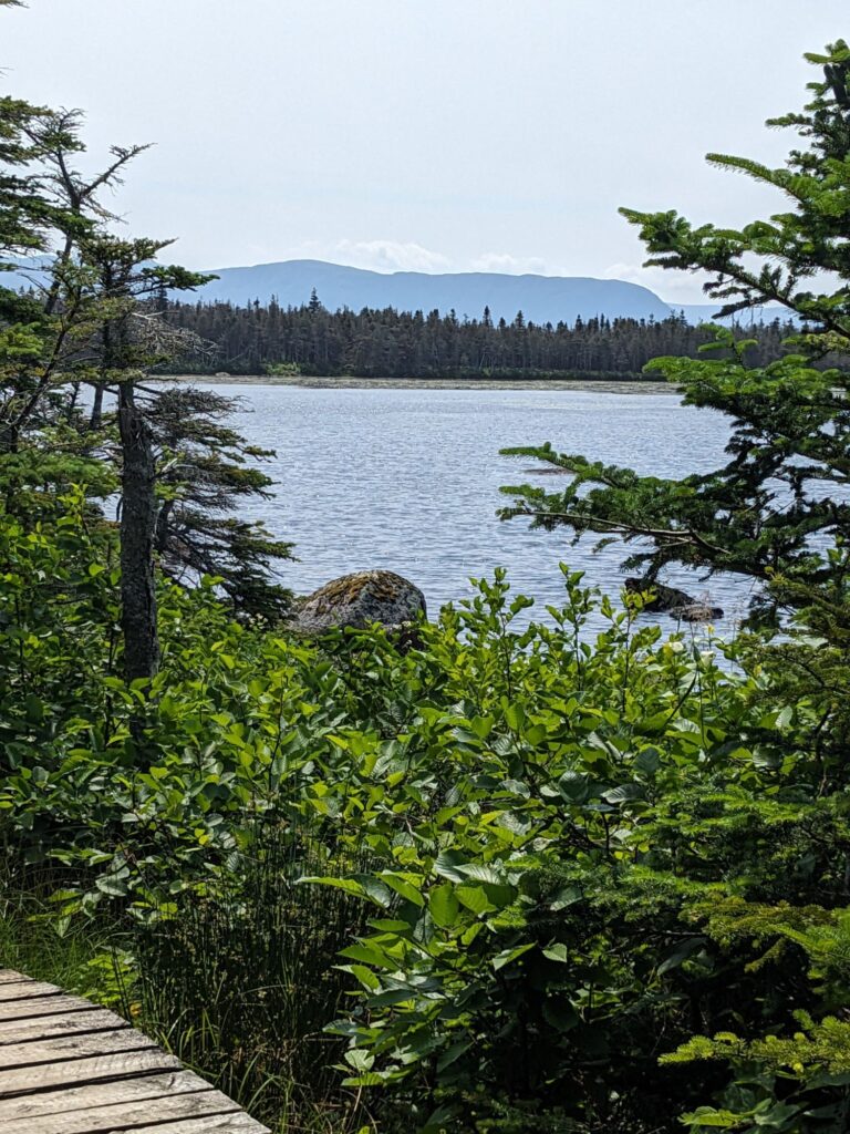
The final walk of the day was the Coastal Trail, a 6 km out and back near Green Point Campground. The narrow path follows the Old Mail Road route along a cobble beach, small ponds and coastal tuckamore. This day I was surprised and delighted to appreciate the blooming of a number of wild flowers in shades of whites, purples, blues, rose, yellows.
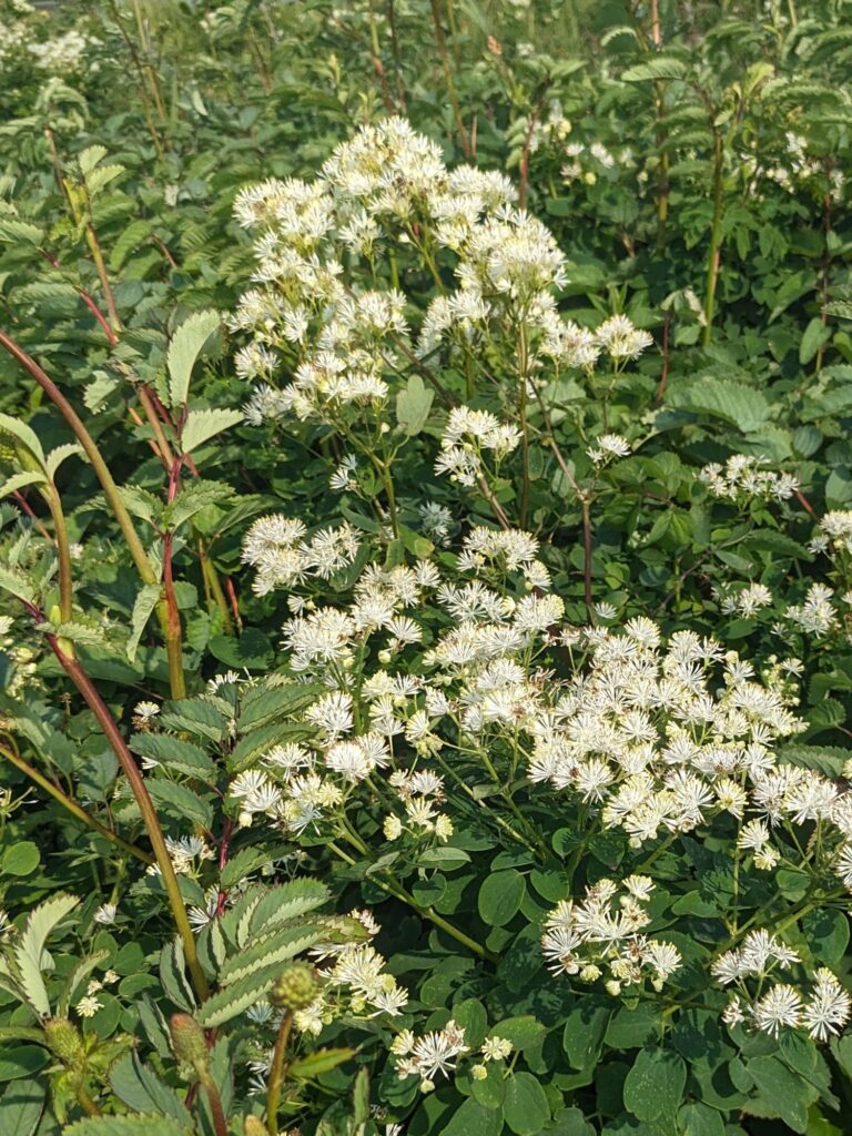
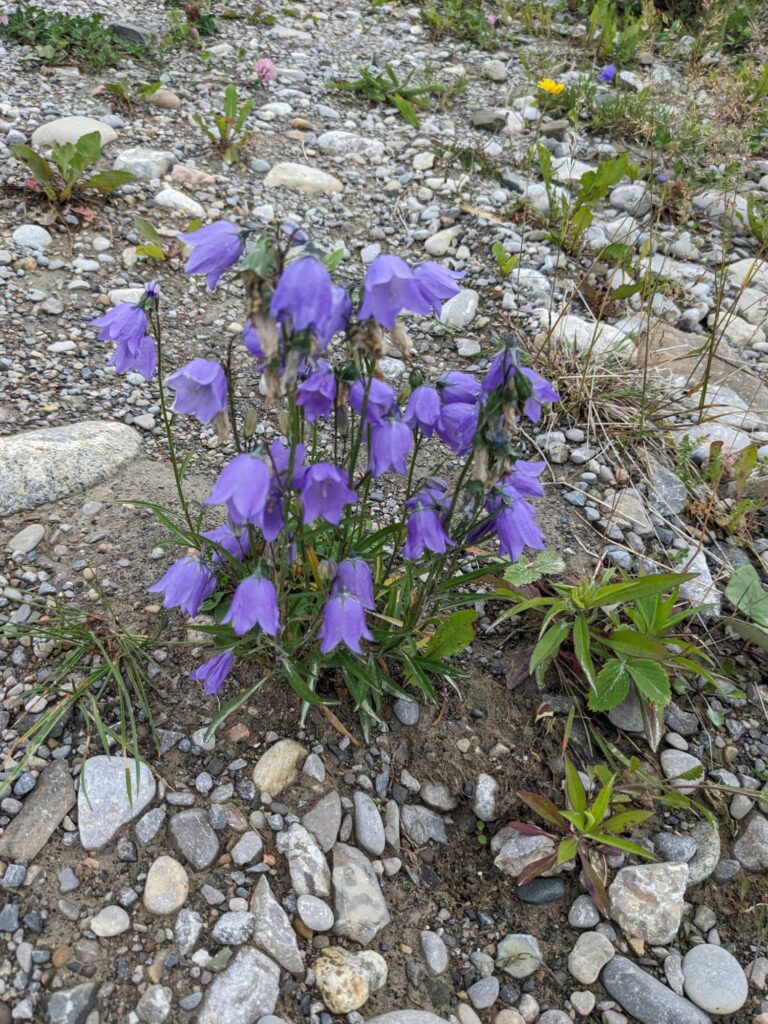
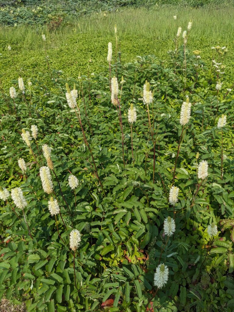
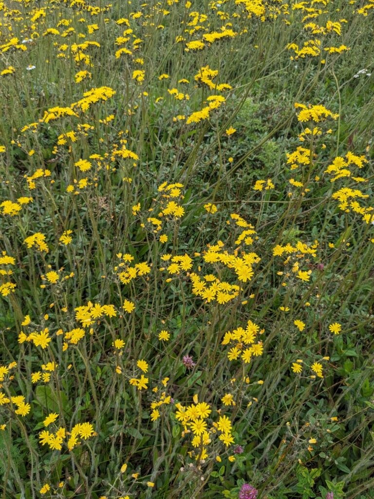
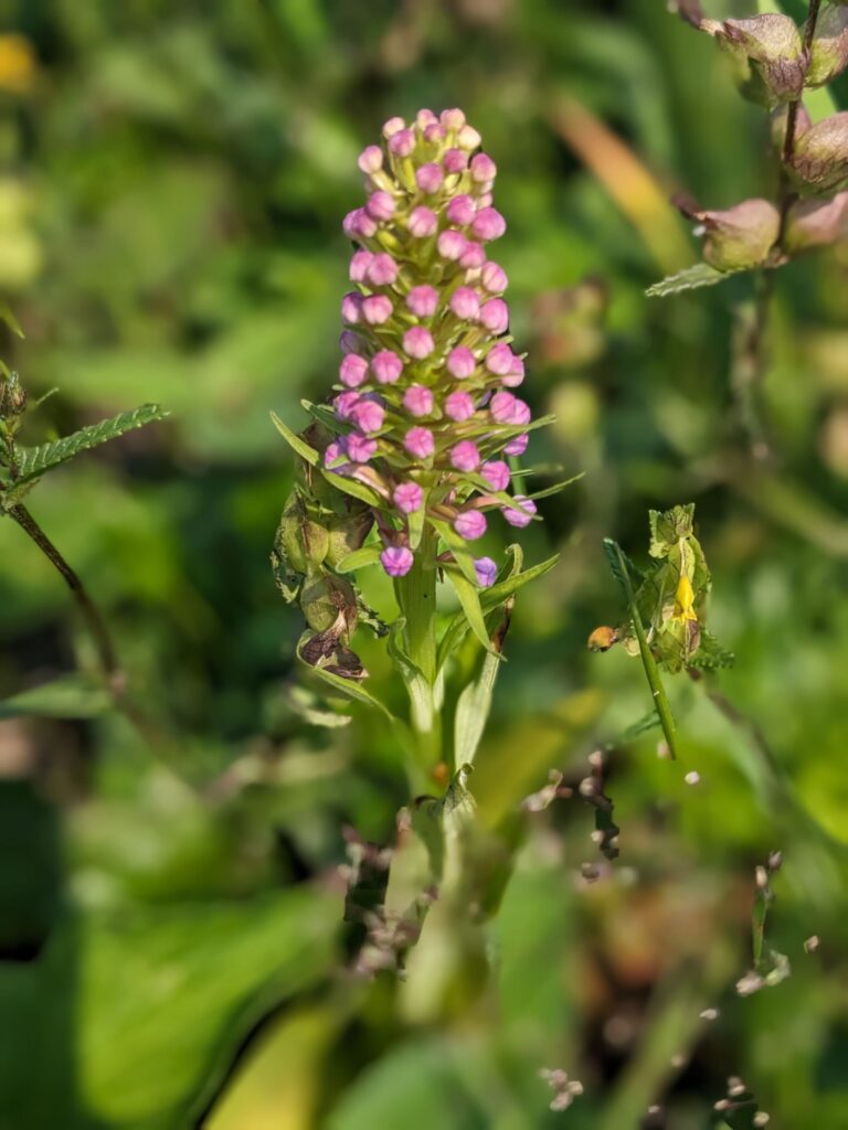
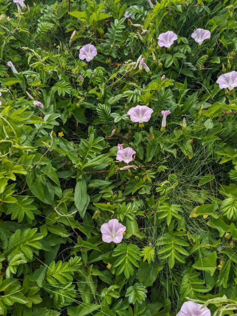
Some varieties might be considered intrusive weeds.
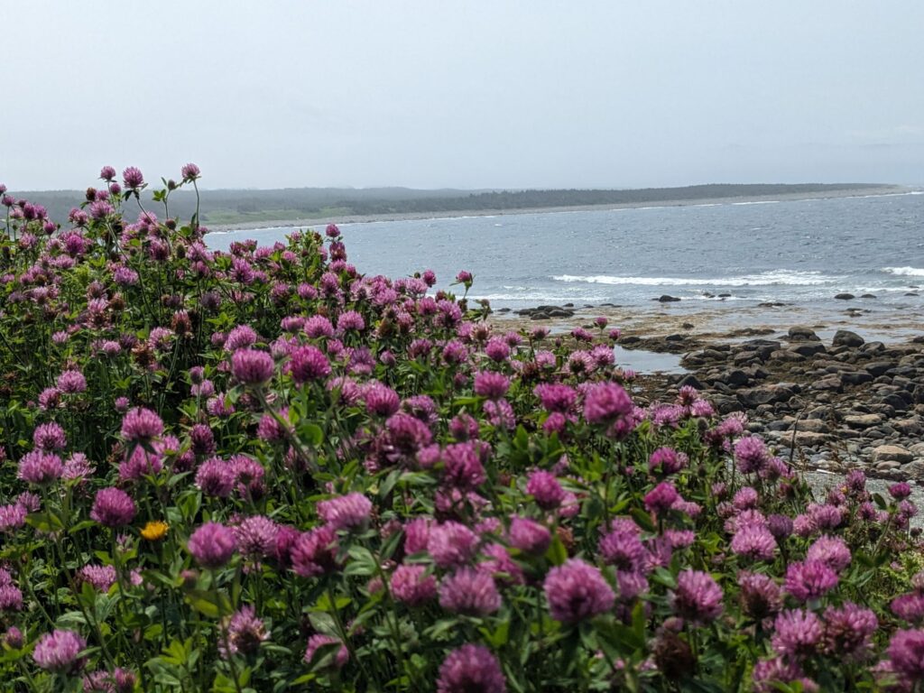
In this context they are nature’s beauties.
Wild iris. Common daisy. Clover. Bluebells, Yarrow.
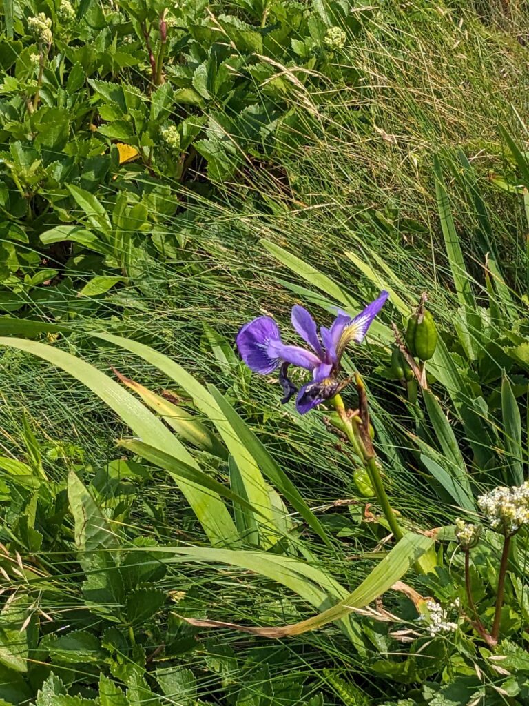
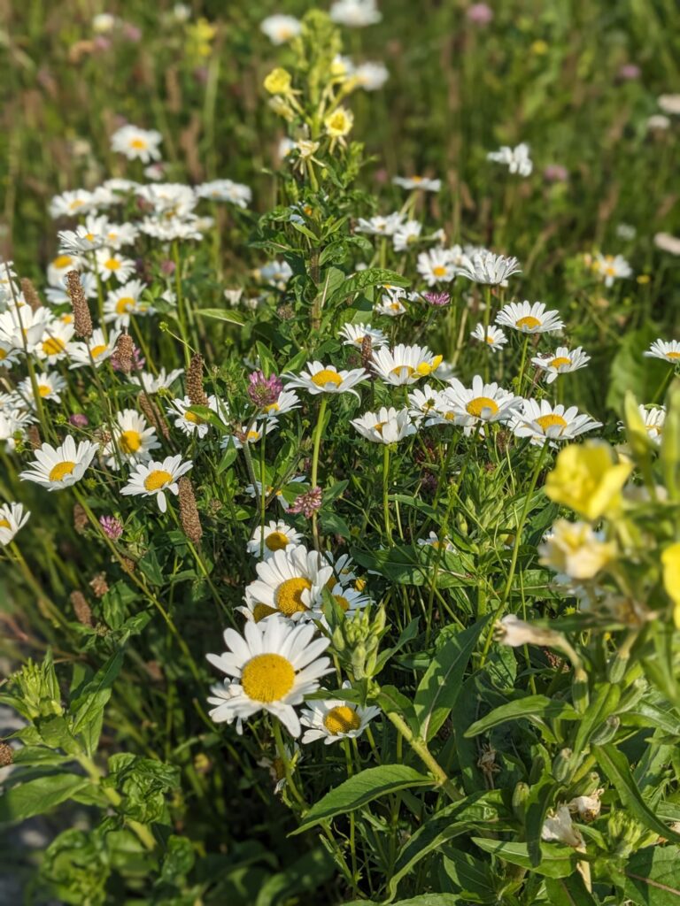
So many flowers! With breaking waves as nature’s music.
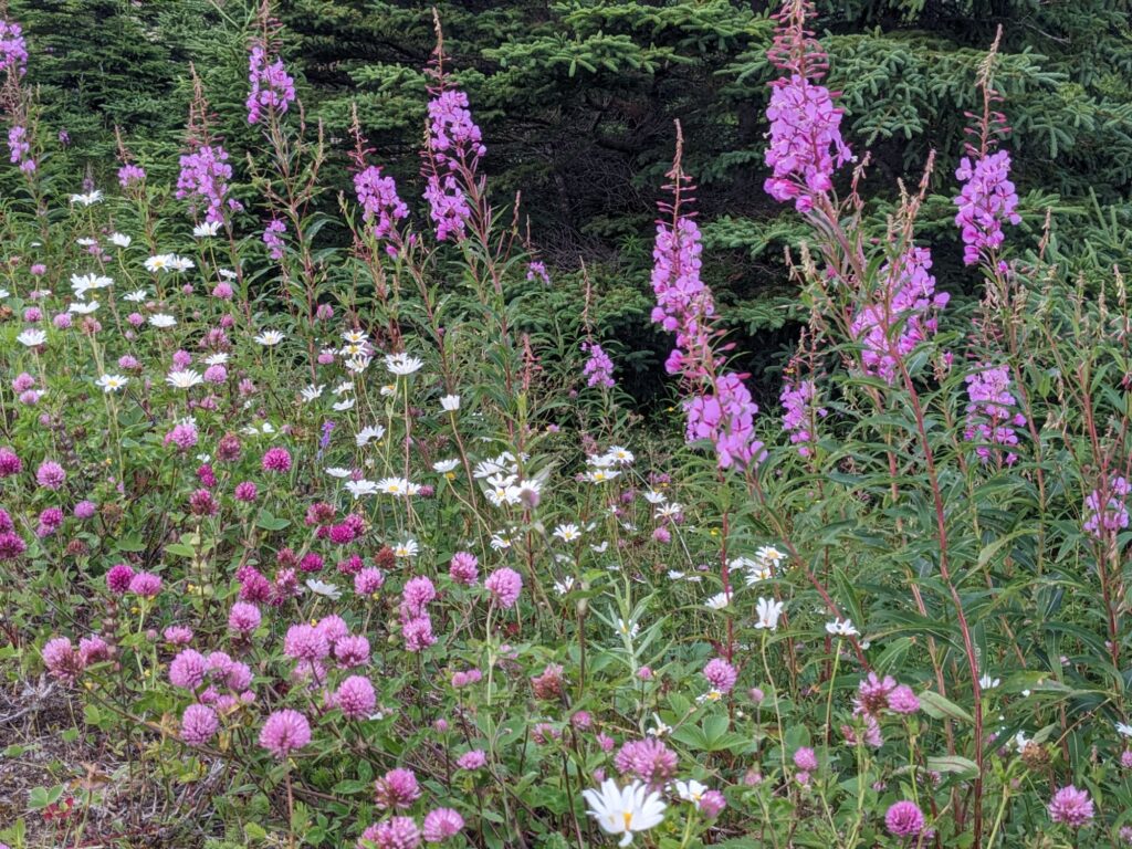
Fireweed.
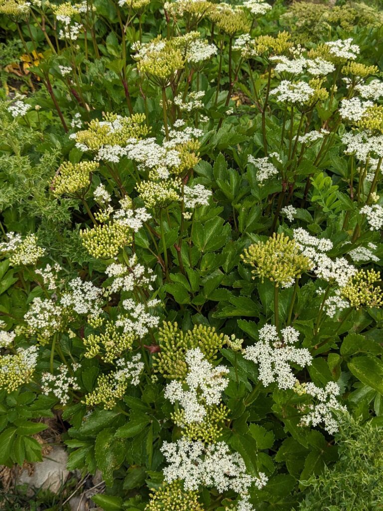
Tuckamore refers to the stunted trees (mainly spruce and fir) that grow along the coast and in alpine areas. Entangled by wind and frosts.
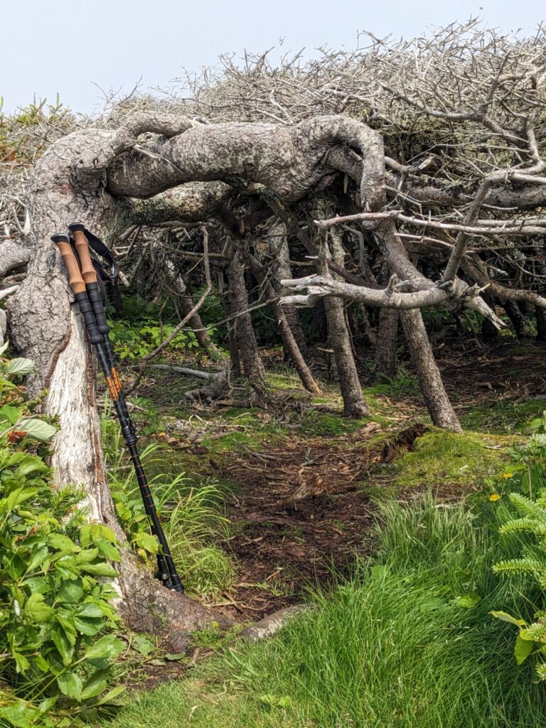
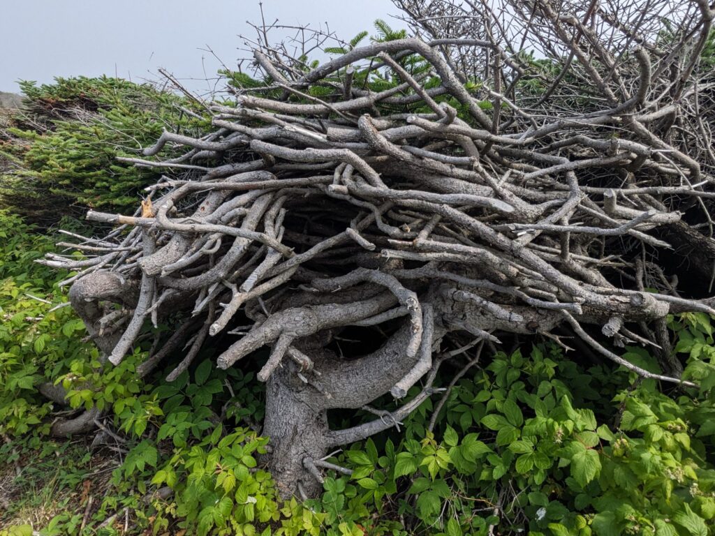
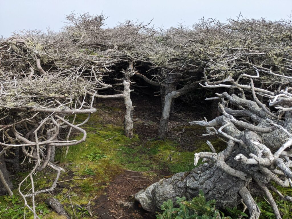
The photo on the left shows my walking sticks for size reference. Hobbit homes?? Center photo shows the tree trunk with gnarled, twisted branches, hugging itself against the elements.
Another memorable day.
Sunday, July 14th
Today is the Western Brook Pond Tour boat excursion. A highly advertised must-do in Gros Morne. A 3km walk to the boat launch, and a two hour cruise. Prior to July 2018 the walk was a nature trail between the parking lot and Western Brook Pond with crushed gravel and boardwalks hovering over the wetlands. Today the walk is a road, wide enough for vehicles, or multi passenger carts for those who wish to ride.
The Pond (Western Brook) is a 17km long glacier-cut lake winding its way through 670 meters-high sheer cliffs. Originally a salt water fjiord, it was cut off from the ocean after glaciers receded 10,000 years ago and the land rebounded.
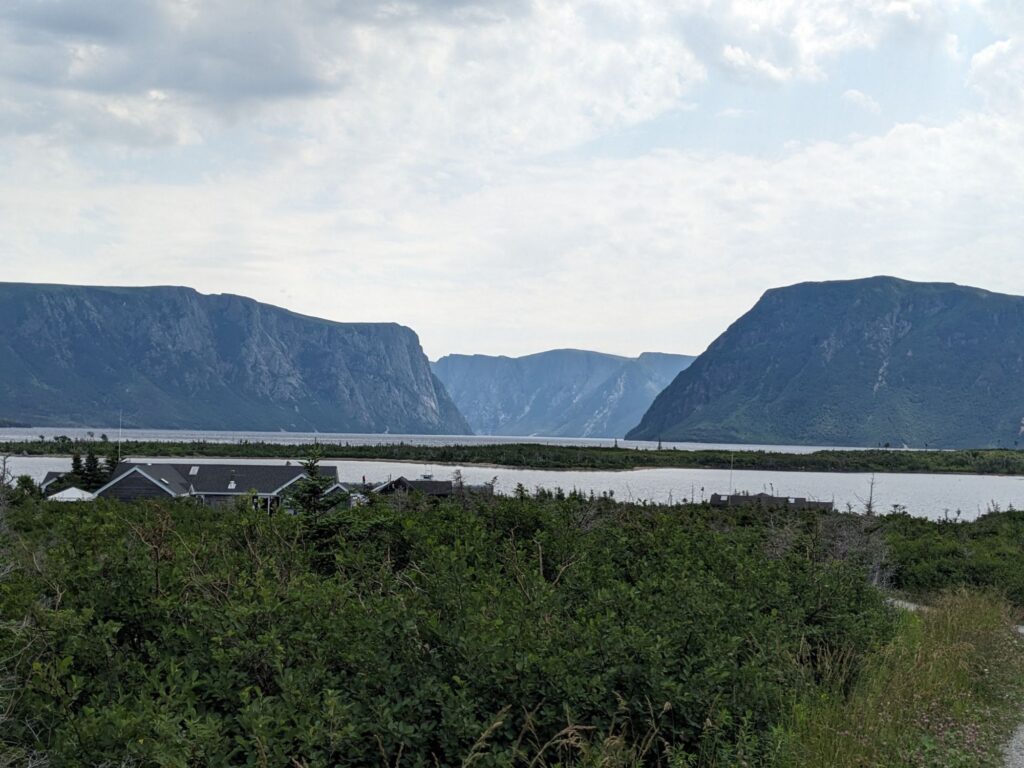
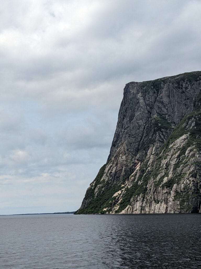
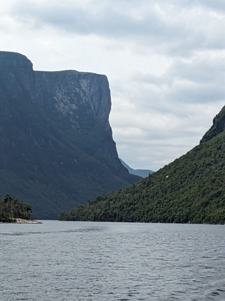
Stunningly steep.
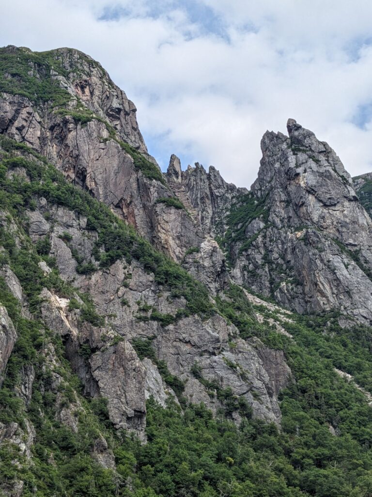
Greenery clings to the cliffs.
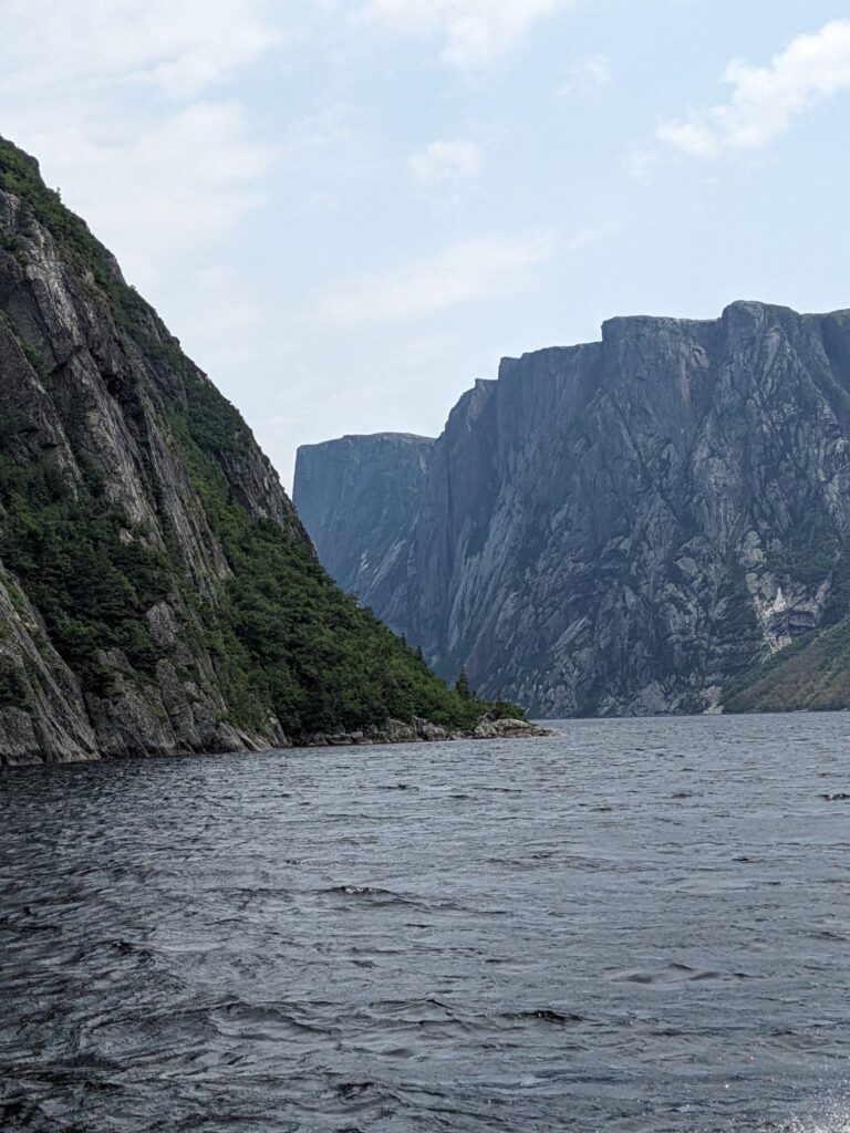
The setting is stunning, being an inland fjiord is intriguing. But for the price of $90CA per person, the crowded capacity allowed, and knowing there are lovely settings elsewhere, I would not recommend this tour.
Monday, July 15th
Marilyn and I spend this day separately. For me, I drive to access wi-fi to update this blog. Lulu sits next to a beach, breaking waves, gray skies. The rainy morning dries up though the overcast sky remains. A hike within reach from Lulu calls me when the rain stops.
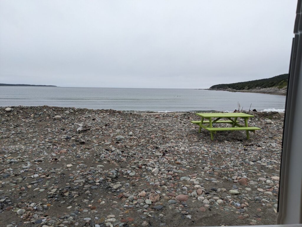
The view out Lulu’s sliding side doors while I work on the blog and make phone calls.
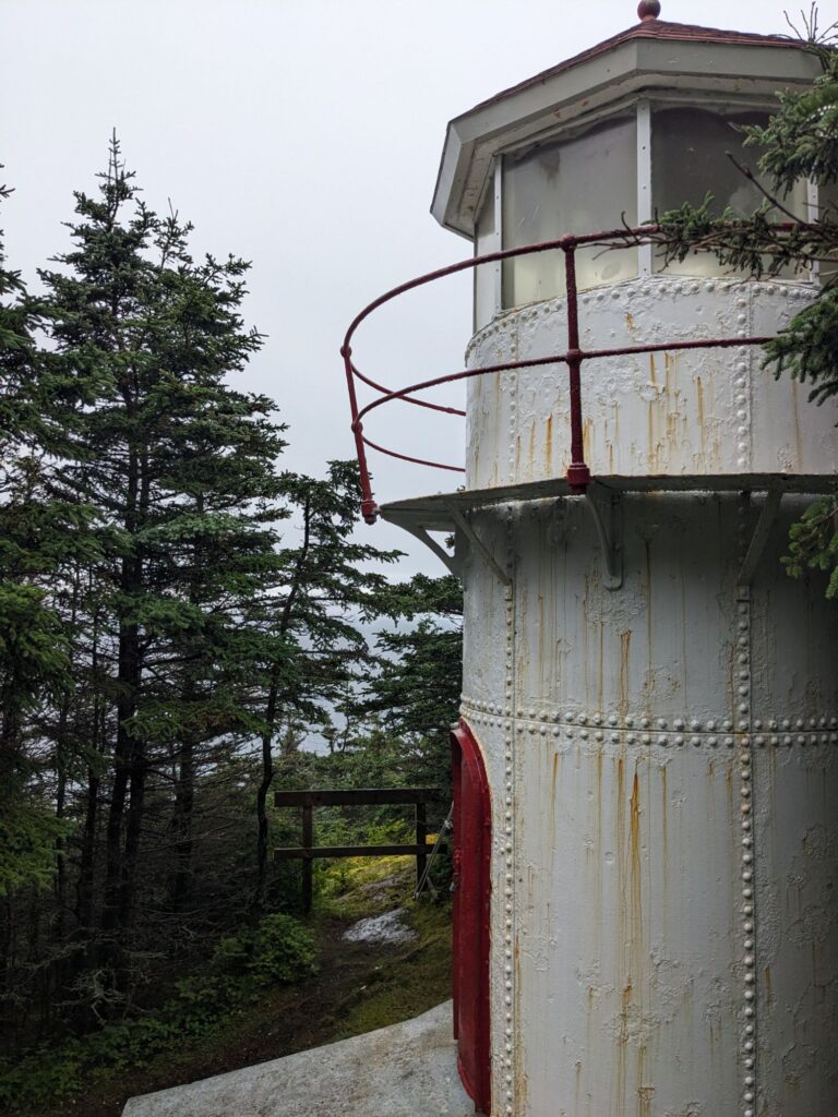
The hike is called The Lighthouse Hike, but it is so much more.
The Cow Head Lighthouse was built of cast iron in 1909 and was used until 1979. Restored in 2002 as part of a project completed by the Cow Head Tourism Committee. Not being a lighthouse officianado, I don’t know it’s significance. But the trail leading to it and beyond is what I’ll remember.

Although it is within Gros Morne, the trail appears to be maintained by locals.
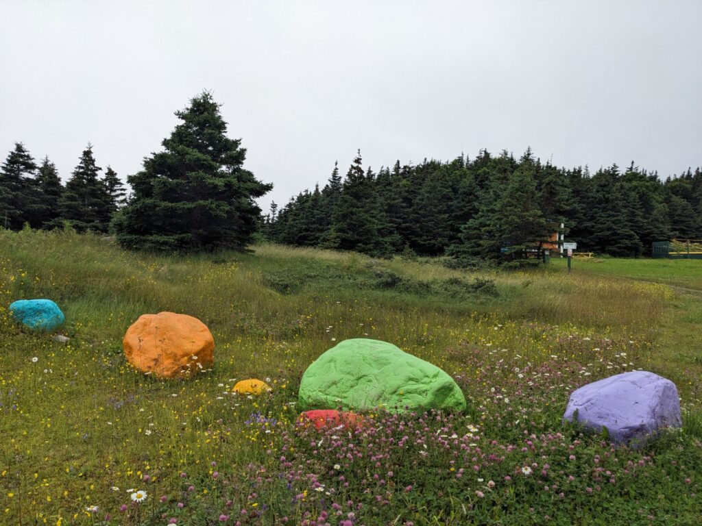
Whimsical signage along the trail was kinda sweet
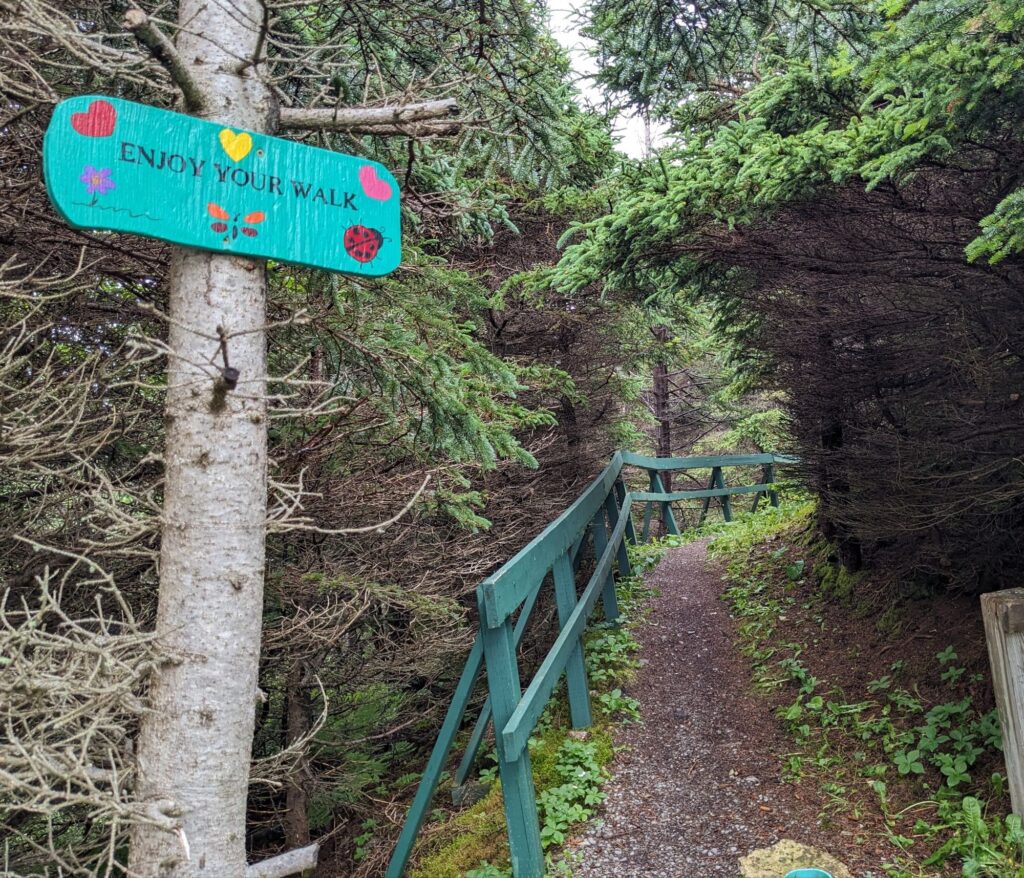
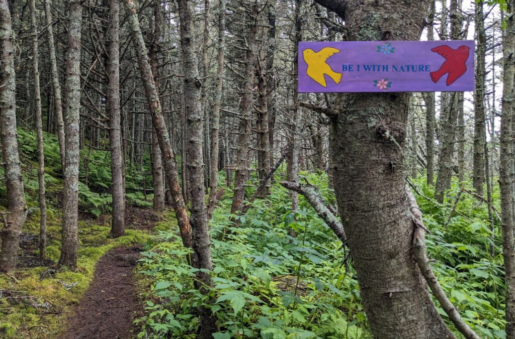
The trail was longer than I’d anticipated. Perhaps I was walking slowly, feeling as though this is a magical place.
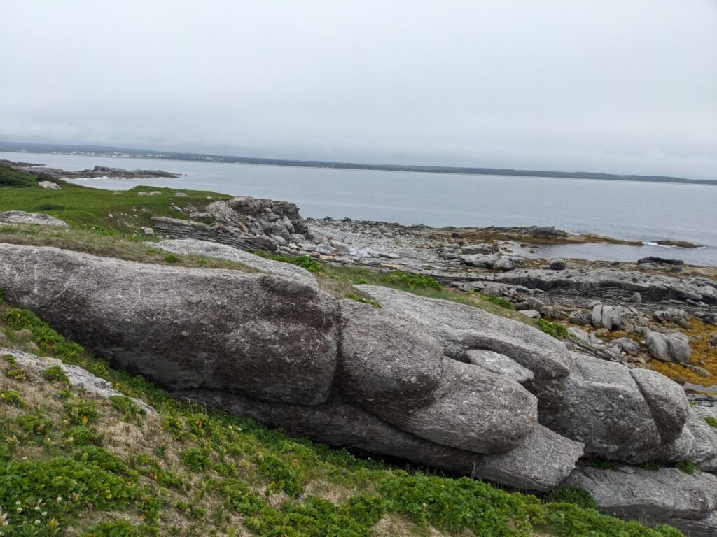
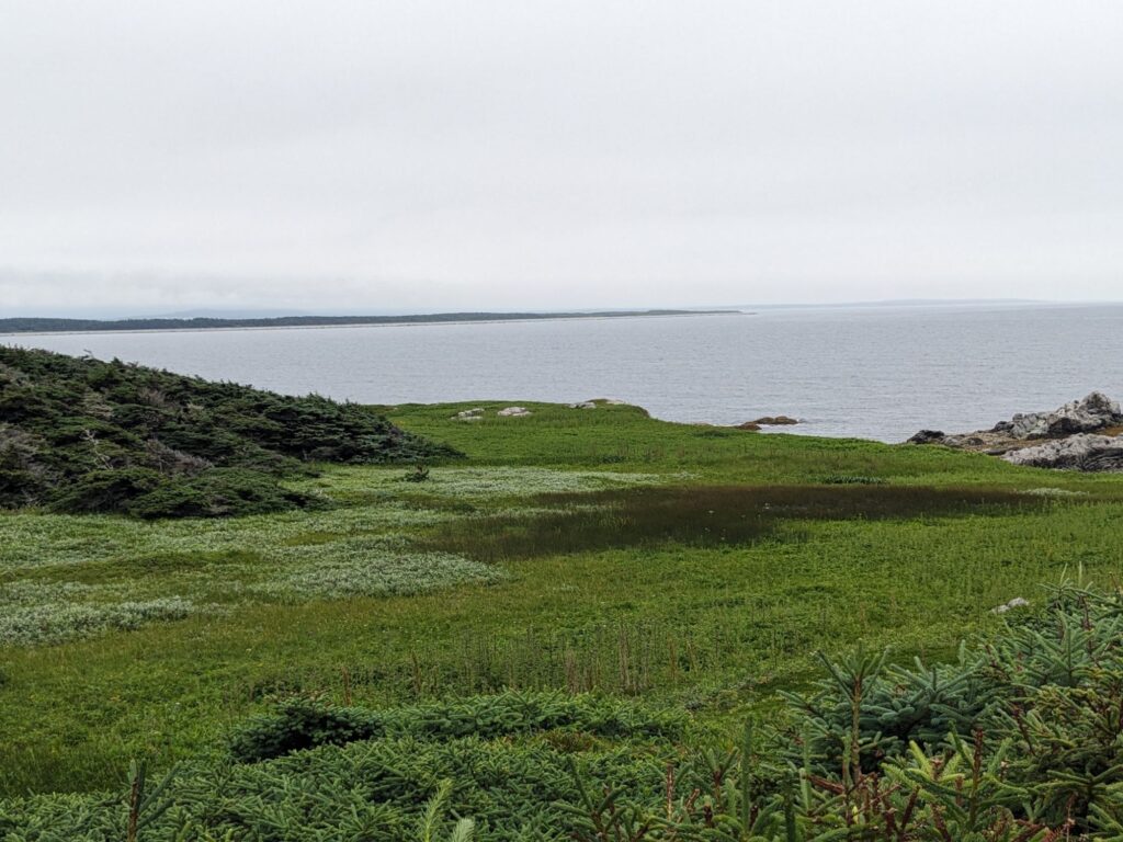
Cow Point Head, the end of the trail, held long vistas on this melancholy day. Perfect.

Newfoundland looks every bit as beautiful as I’ve imagined! Finding any showers there? Interested to read about / see photos of the Viking settlement at St. Anthony’s (and everywhere in between).
Showers? As in rain showers? Oh yes, It’s come down hard a few times.
We’ll be in Saint Anthony’s, location of the Viking settlement soon, Wednesday or Thursday and remain for two or three days.