Although I’d intended to write every day, service for my phone and wi-fi was non-existent on our Cabot Trail adventure. This post is written July 9th, after the drive and two subsequent days in Sydney. Also, I’m afraid it’ll take me FOREVER to rearrange the format to read chronologically from top to bottom. If you scroll to the bottom, you can read chronologically from the bottom to the top.
Sunday, July 7th
The rains came down. We’ve been very fortunate with weather thus far. Today, we’ll leave this rainy coast on the Gulf of St. Lawrence to complete the Cabot Trail drive a day early. At Margaree Harbor we enter what we’ve been told is a must-see, beautiful area of Margaree Valley. But the rains continued making for faded or non-existent views. In the photos below we are still on the coast.
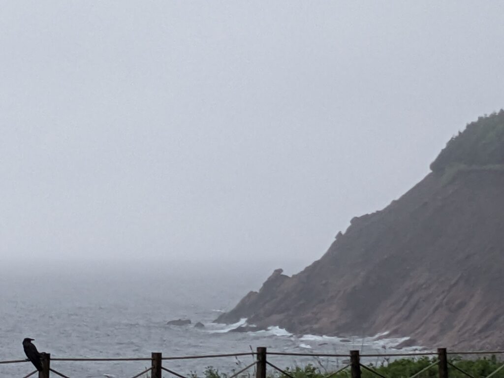
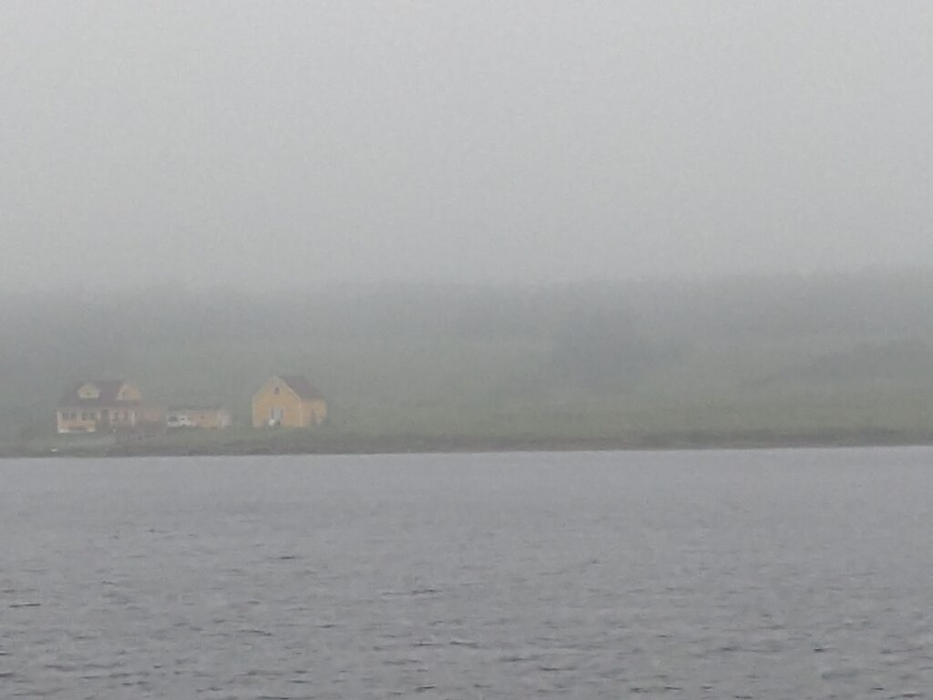
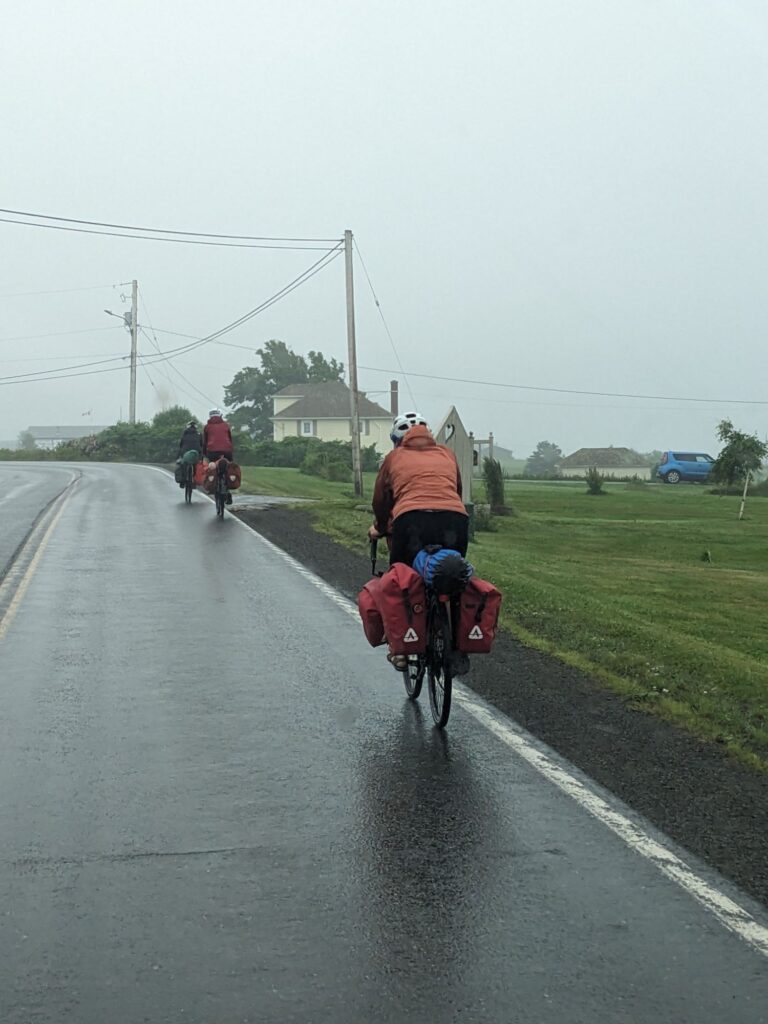
Bicycling the Cabot Trail is a strenuous undertaking, but many are capable and love it. These are the same three gals we’ve come across up in the Highlands, now on the Margaree Valley Road.
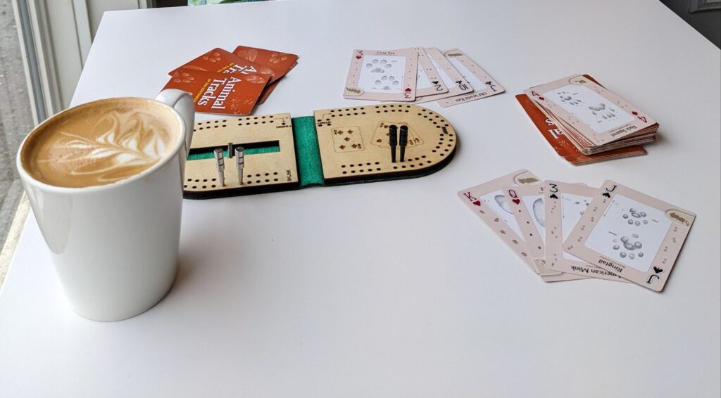
Rainy day cribbage and latte at The Dancing Goat. A popular stop in any weather. A conversation with a couple from New Brunswick who have a cottage nearby ride their side-by-side on the ATV path for 1/2 hour to enjoy a coffee at the cafe.
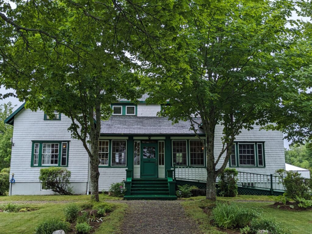
We take a side-trip off the Margaree Valley Road to find this historic lodge. Either the rain is letting up, or it’s so close the rain isn’t interfering with the view. In a rush to pick up Lulu in Sydney, we don’t go in for a look-see.
The remainder of the drive to Sydney is uneventful. The rain lets up, we find a place to park for the night. In two days, on July 10th, we’ll take a ferry to Newfoundland and wander until our return ferry trip scheduled for August 10th.
I’m hopeful to have access to wi-fi to maintain this fun connection with those who are enjoying this blog!
Saturday, July 6th
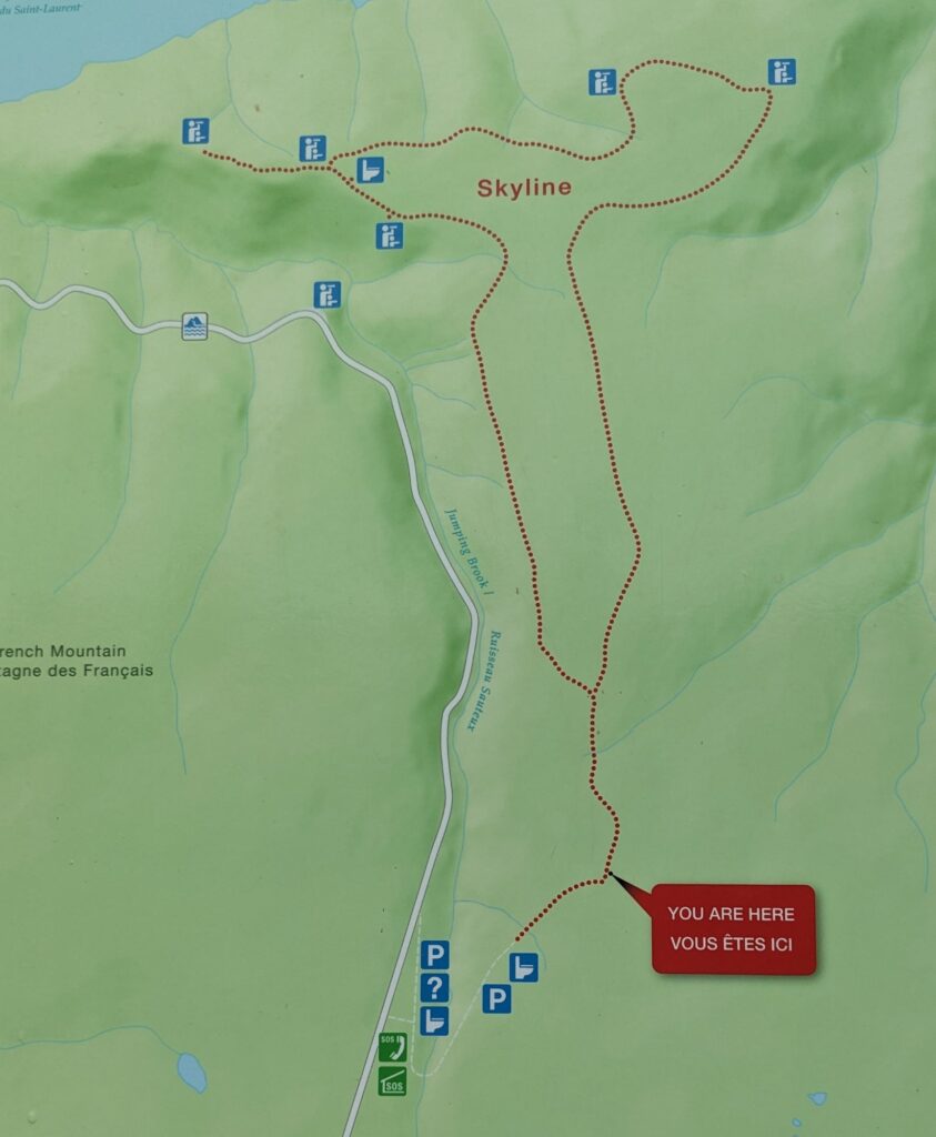
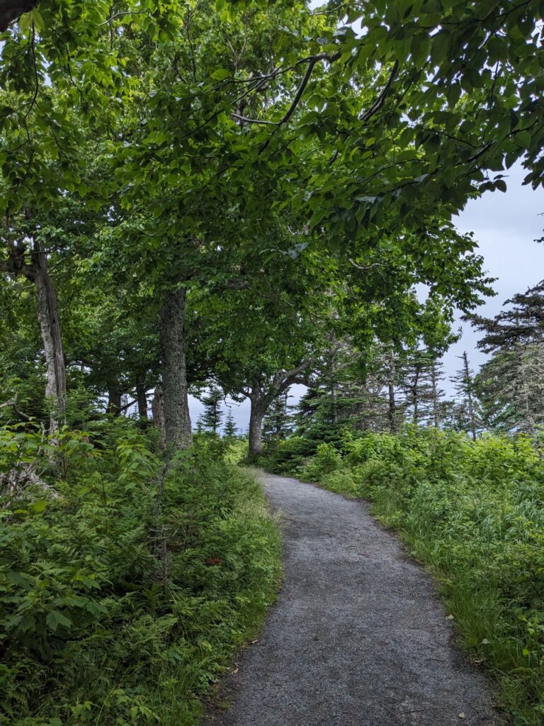
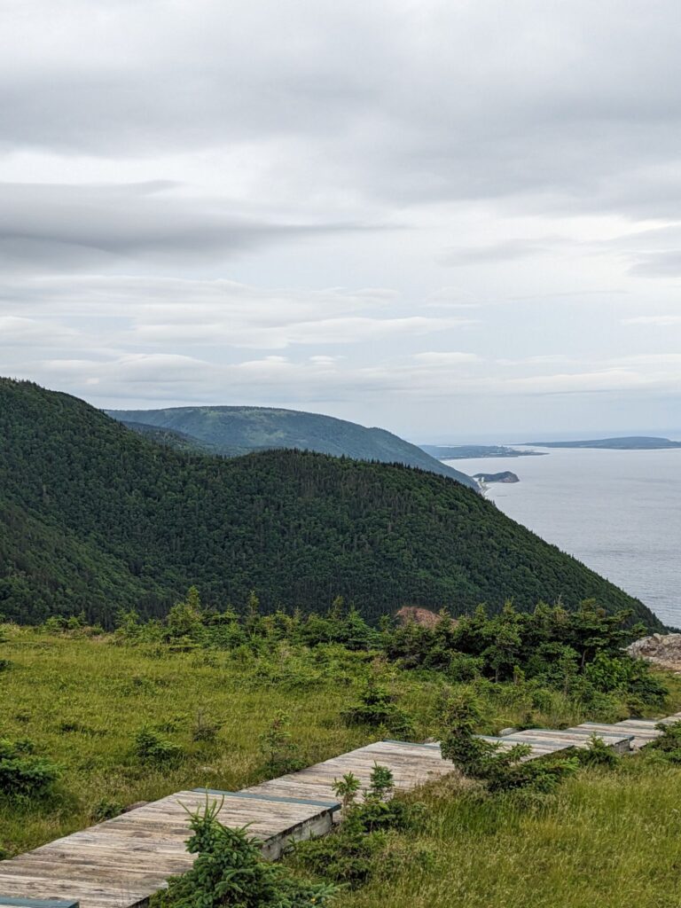
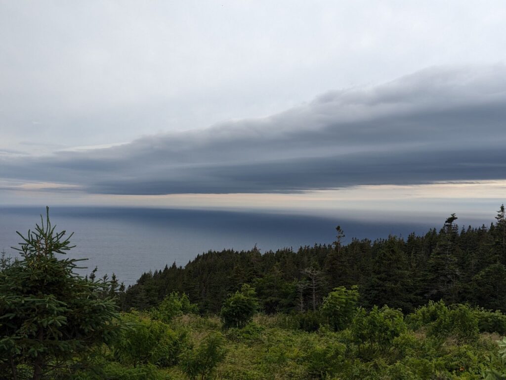
At a fork on the Skyline Trail Marilyn and I take separate paths. It’s 4 miles, or 5 miles. I chose the 5 mile route and had the trail mostly to myself. Nothing spectacular, yet, on second thought, oh,so spectacular!
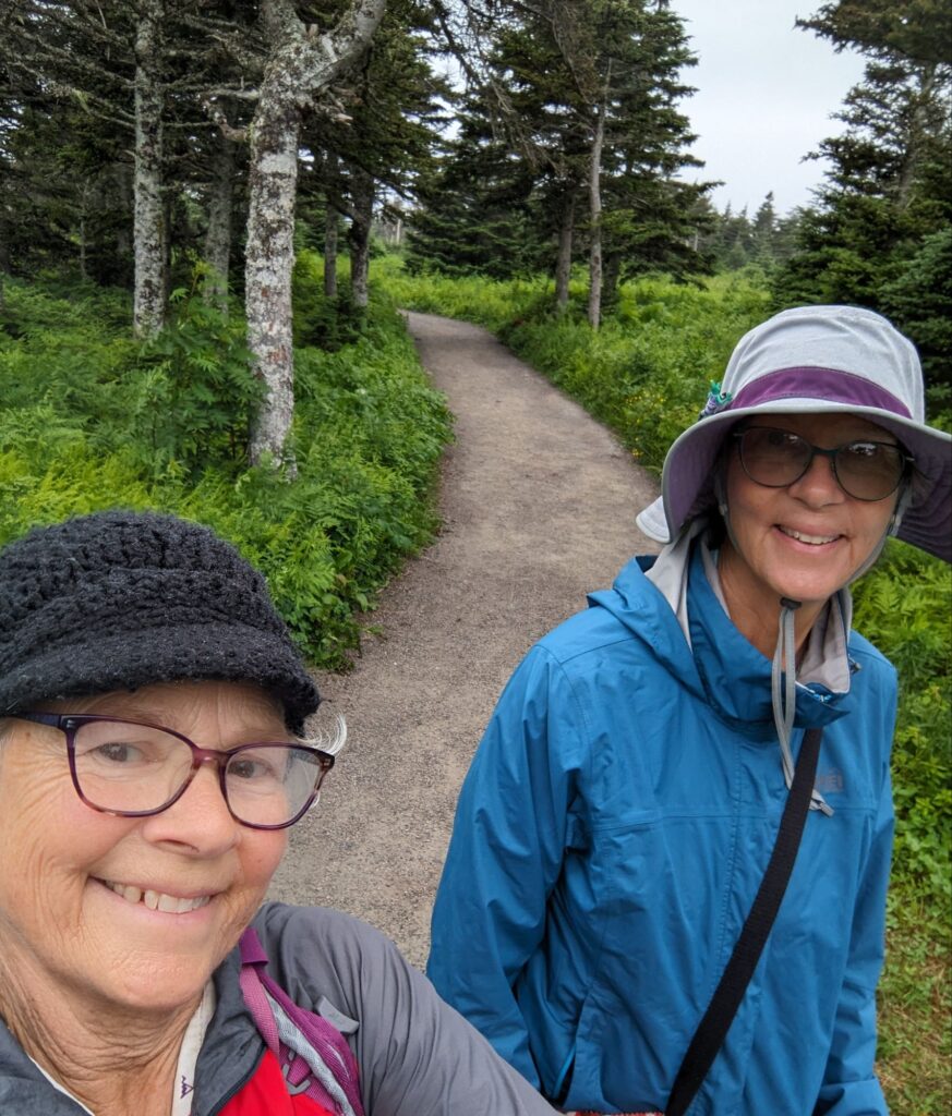
The photo below on the right is a reflection of the sky on the waters. It was an impressive composition by nature. The center photo is the end of the trail with a boardwalk providing a series of descending platforms on which to sit and enjoy the views. And the photo on the right shows the meditative trail I walked.
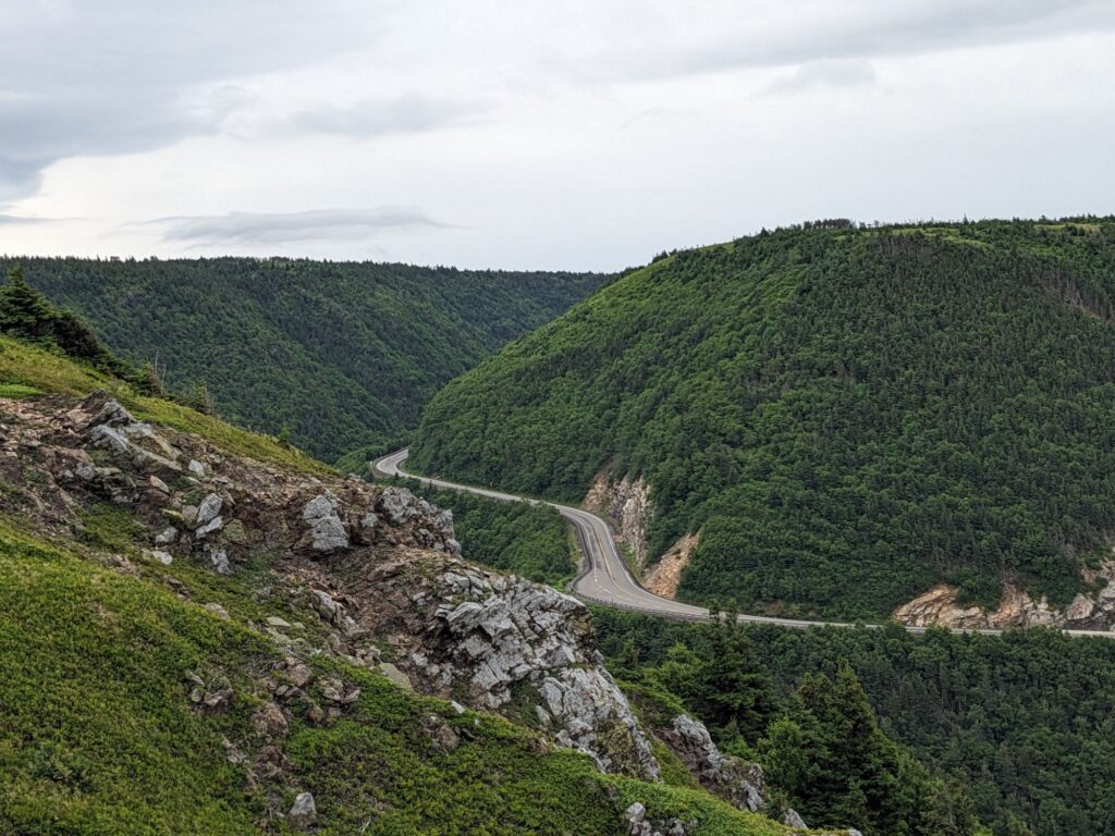
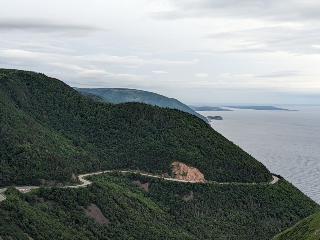
A view of the winding Cabot Trail from high above on the Skyline Trail
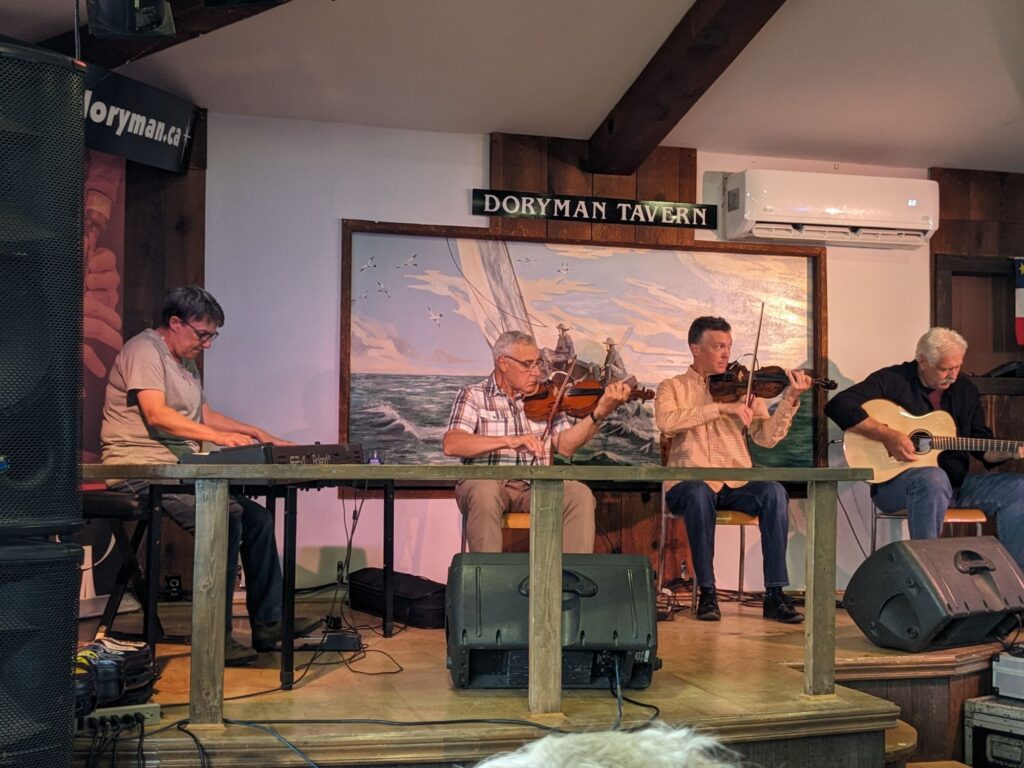
After hiking we returned to Corney Brook Campground just before the rains began. Getting the tent put away dry we paid for one more night here then went into Cheticamp for some Saturday afternoon entertainment at the Doryman. Listening to fiddling music, gazing out huge windows to watch lobster boats returning to harbor in the pouring rain and drinking excellent local beers, sitting with locals, it was surreal, and not. Tonight, I sleep on the floor in Marilyn’s van to avoid getting a soaking in the rain and serious winds.
Friday, July 5th
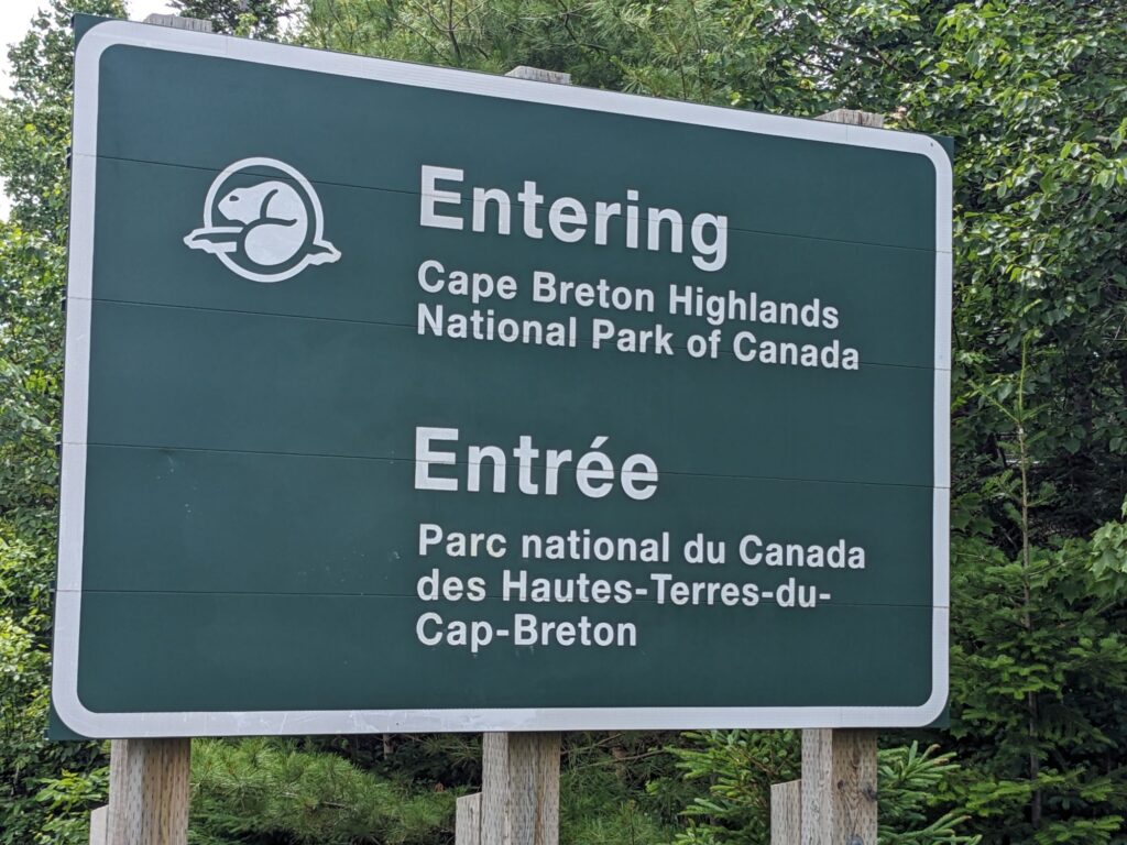
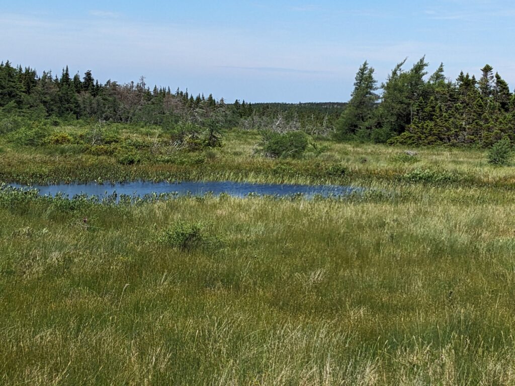
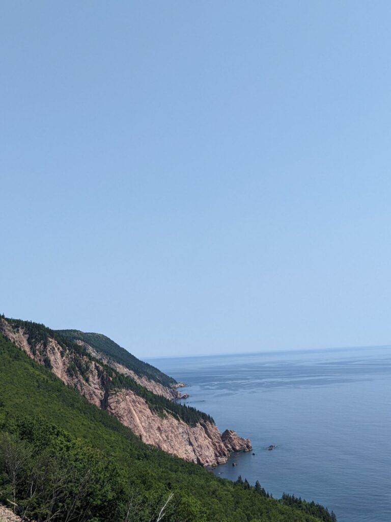
The views along the coast of the Cabot Trail are spectacularly stunning. The weather was with us most days and nights for clear views. Entering the Cape Breton Highlands was an altogether magical experience. The plateau averages 1,200 feet above sea level. There are several long, steep gradients. We stop at lookouts, go for a walk on a bog trail, look for moose even though it’s mid-day, and are in awe of the three women bicycling this road.
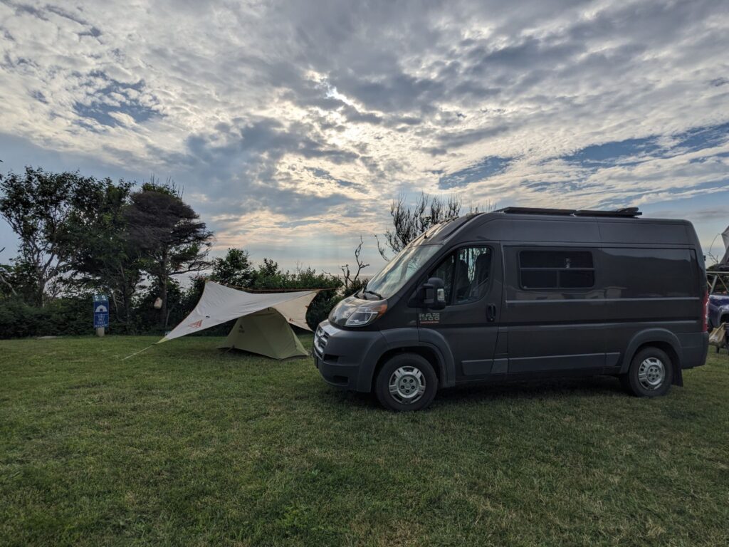
Corney Brook Campground. A quiet afternoon, time spent on the rocky beach, a few friendly young couples on either side of us. The weather is supposed to change so we relish this sunset.
Tomorrow morning , come rain or shine, we’ll do hike the popular Skyline Trail, back up the Cabot Trail a few miles.
Thursday, July 4th
On our way to Meat Cove Campground today at the very northern tip of the Island. Along the way:
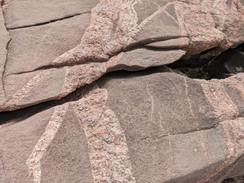
On one of the several short side stops for views or little hikes we find ourselves stepping across huge, fairly flat rocks (boulders?) and notice these huge cracks in many of them. Fascinatingly, as seen in this photo are the, what, striations? jumping from one broken side to the other. Also noticeable are the softened edges of where the rock is cracked. The time it takes for the crack to occur and the edges to soften is unfathomable.
This jumble of rocks was closer to shore but near the flat boulders above. Assumedly, those giant boulders are broken to pieces over time and migrate towards shore.
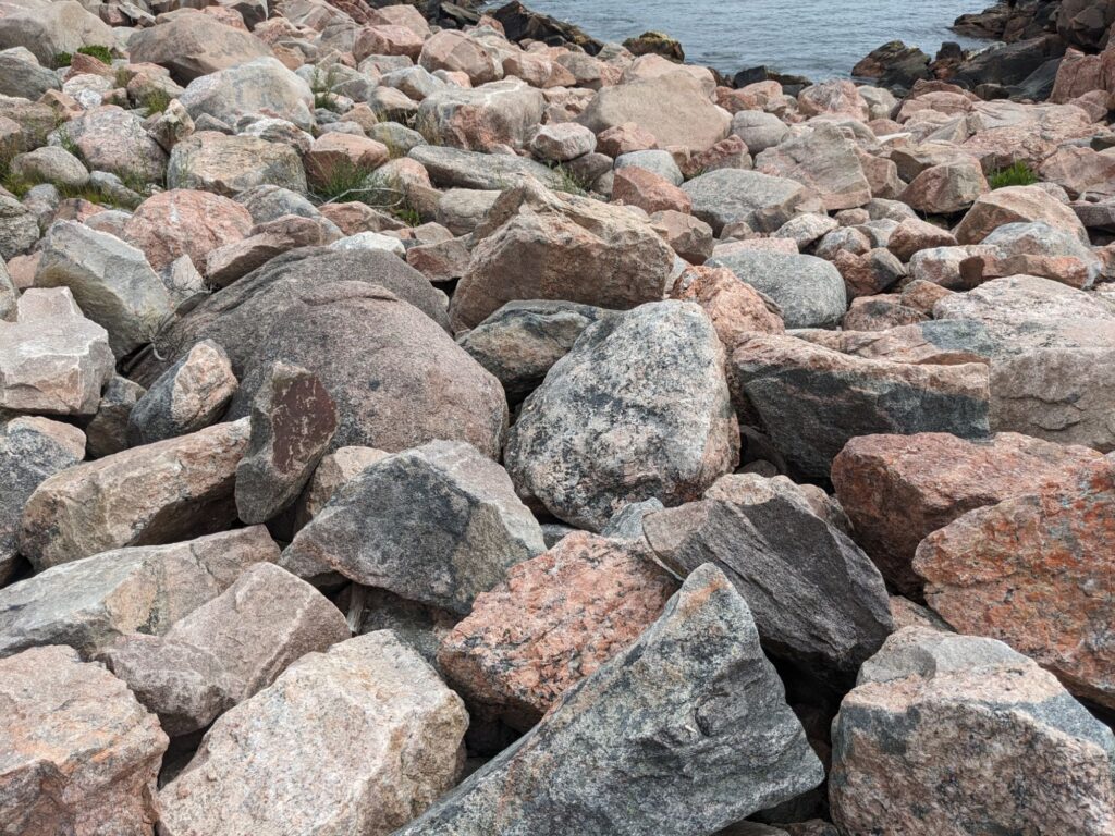
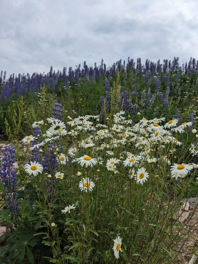
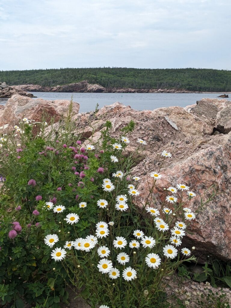
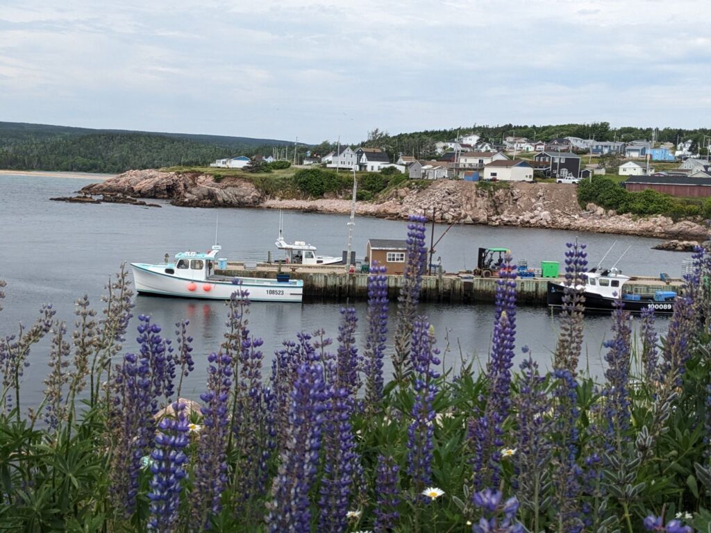
We left the Cabot Trail at Neils Harbor, a highly recommended off-road. A well-stocked small grocery, lovely views, and on the way to White Point, a hiking destination for today the drive was indeed worth getting off the main Cabot Trail.
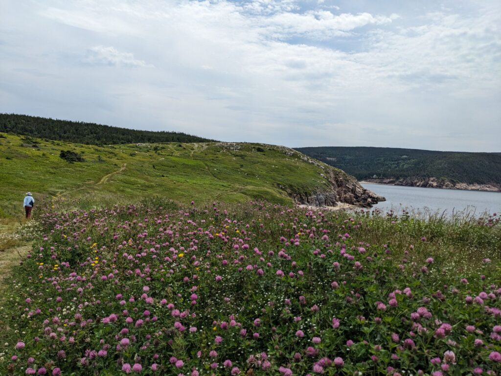
We, rather Marilyn, heard about this hike at one of the many lookouts we’ve stopped at. A local with a ? painted on his car loves to share information and attracts visitors with the ?. Marilyn is curious. From him she heard about this hike, and a memorial at White Point. White Point is a teeny little harbor with a scattering of dwellings at the bottom of a very steep hill. The walk out onto the headland was rather magical, covered in heather, flowers in bloom, waves breaking against the steep cliffs. And, the simple memorial.
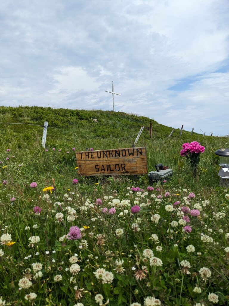
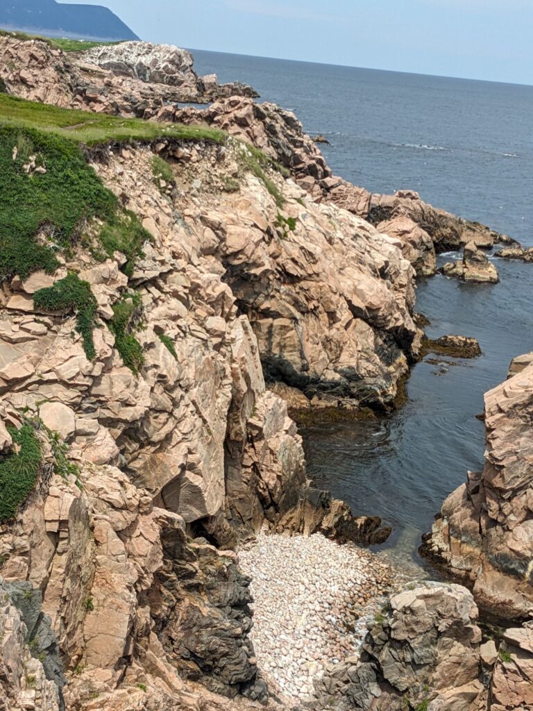
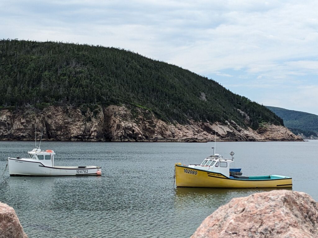
Above, fishing boats anchored off the harbor of White Point.
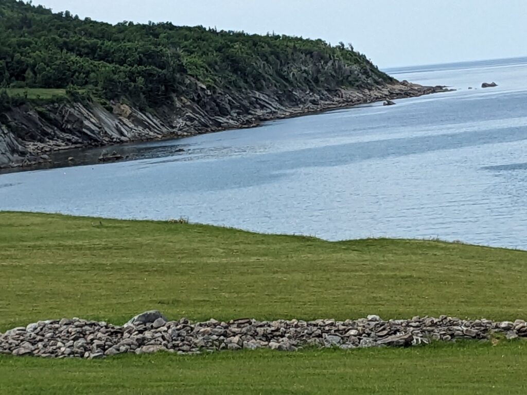
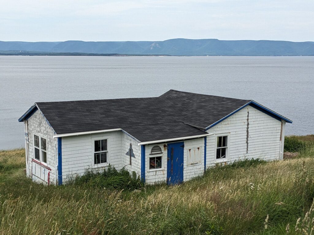
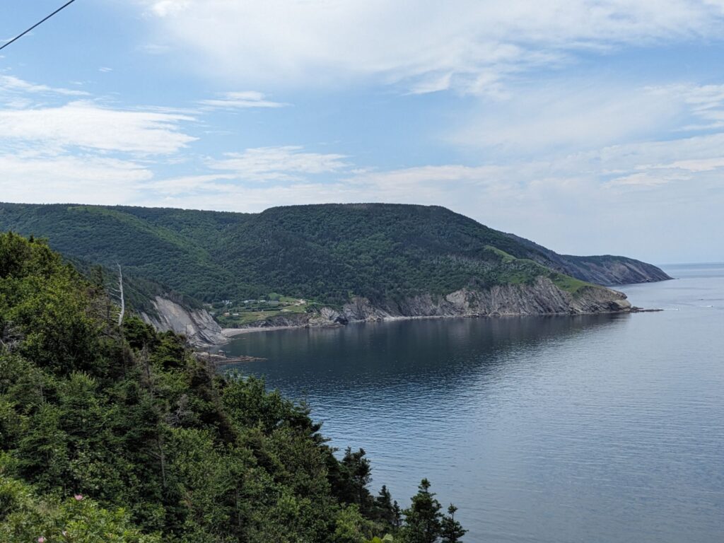
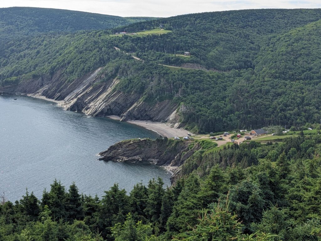
At Cape North we head even further north on rough roads, past Saint Margaret’s Village and on to Meat Cove. Parts of the road are pot-holed, dirt. Some are asphalted. There are steep ups and downs. Below are our first views of tonight’s campground, Meat Cove – not an inviting name. It is popular for a day drive, or an overnight.
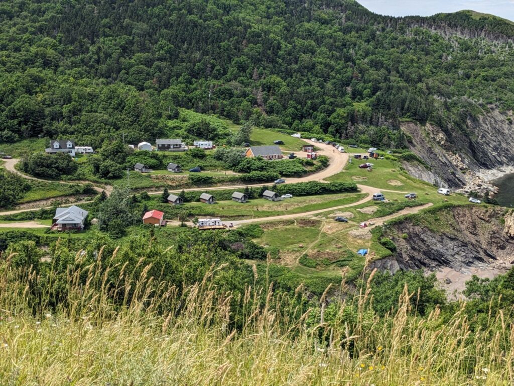
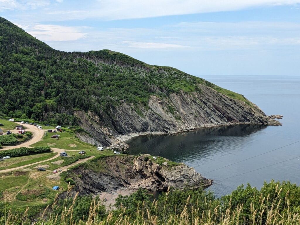
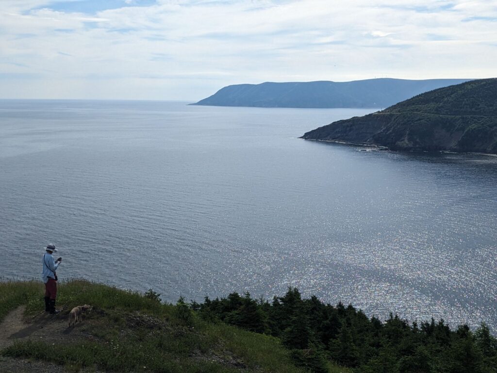
Photo on left: a view from a hike up the hill to the grassy ‘knoll’. The knoll can be seen in the upper right-hand photo, left of center.
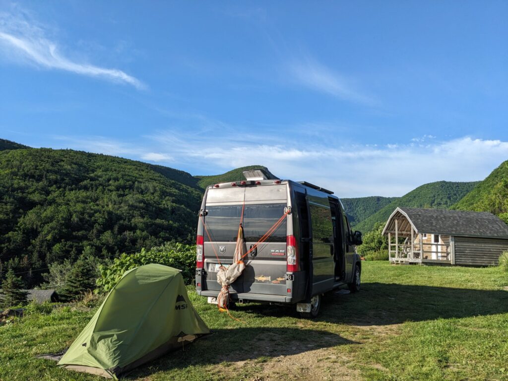
Center photo below: our camp spot. Meat Cove Campground is a family run business, begun in 1982. They’ve carved out flat spots on the hillside for un-serviced sites, various cabins, and even a small lodge. All with fantastic views. The photos on either side of our campsite are taken from the grassy knoll hike.
Wednesday, July 3rd
Who was John Cabot? From History.com and other sources: John Cabot was an Italian explorer, navigator and trader who in 1497, ‘discovered’ Newfoundland and was instrumental in the development of the transatlantic trade between England and the Americas, laying the groundwork for British land claims in Canada.
I hope to write a blog about First Nations in Atlantic Canada – the Mi’kmaq – as well as the Acadian population.
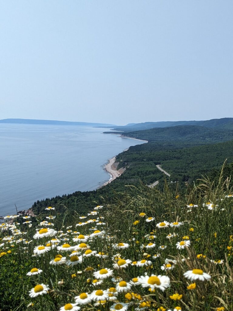
However, here in the year 2024, as we travel up the east side of the Island the views become more dramatic. Very different here from the southern end of the Island. It was suggested by locals to drive the Cabot Trail counter-clockwise for the best unobstructed views – if we aren’t afraid of heights – yikes! We’re doing it.
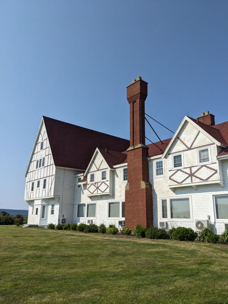
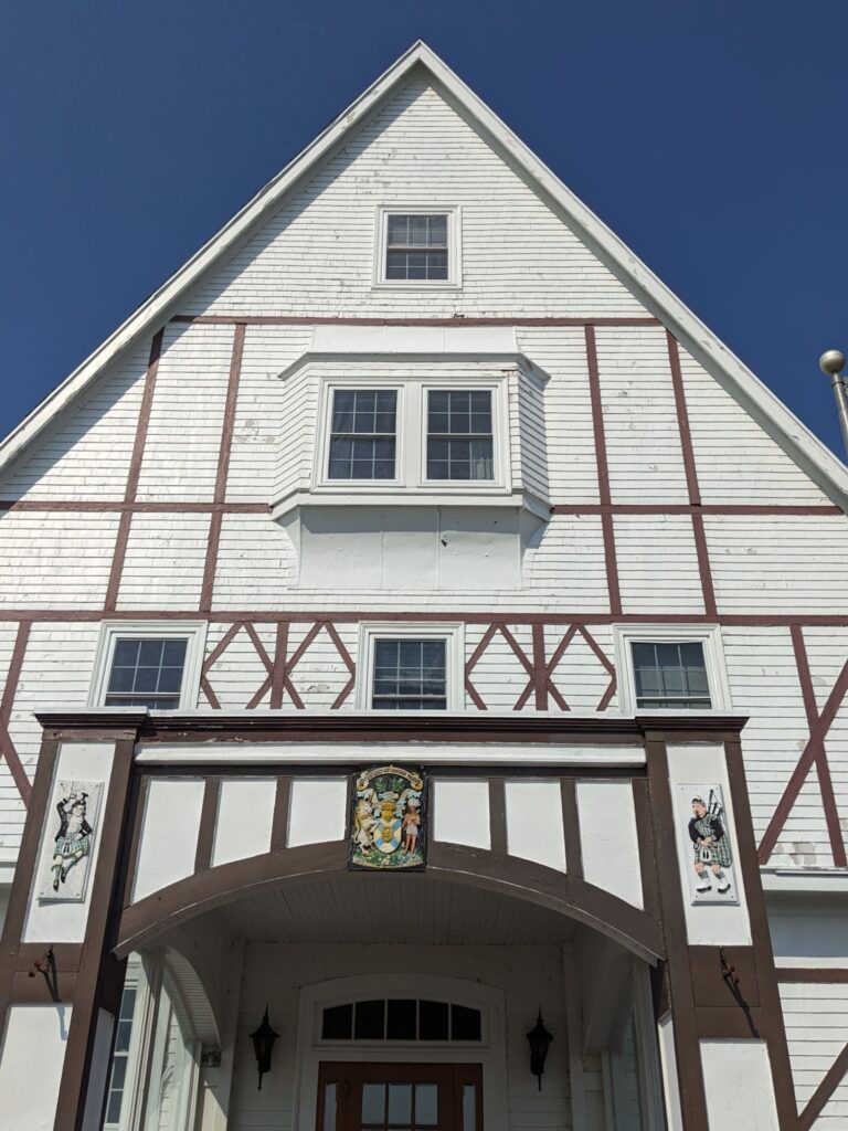
The historic Keltic Lodge near the town of Igonish was built in 1904 by American Industrialist Henry Clay Corson in the hopes of restoring his wife’s failing health. It is out of use now but there are cottages nearby to rent.
Beautiful and rugged, we took a good hike on Middle Head which is adjacent to the lodge and nearby properties. Our campground this evening was at Broad Cove, site 201. The only site with a view of the sea!
Tuesday, July 2nd
I drop Lulu at a storage place in North Sydney, pack my tent/sleeping bag/pad into SaVannah along with clothing, foods, toiletries and we begin a new leg of this amazing road trip.
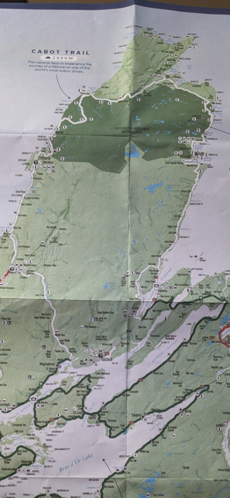
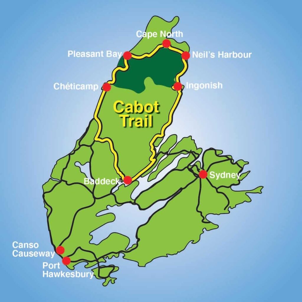
Today is the beginning of a week-long journey on the Cabot Trail. Locals and other travelers have given us many suggestions of must-see’s and do’s along this 185-mile scenic drive around the northern tip of Cape Breton Island. I might be able to post a better view of where we overnighted and hiked but for now, posting this sooner than later is preferable.
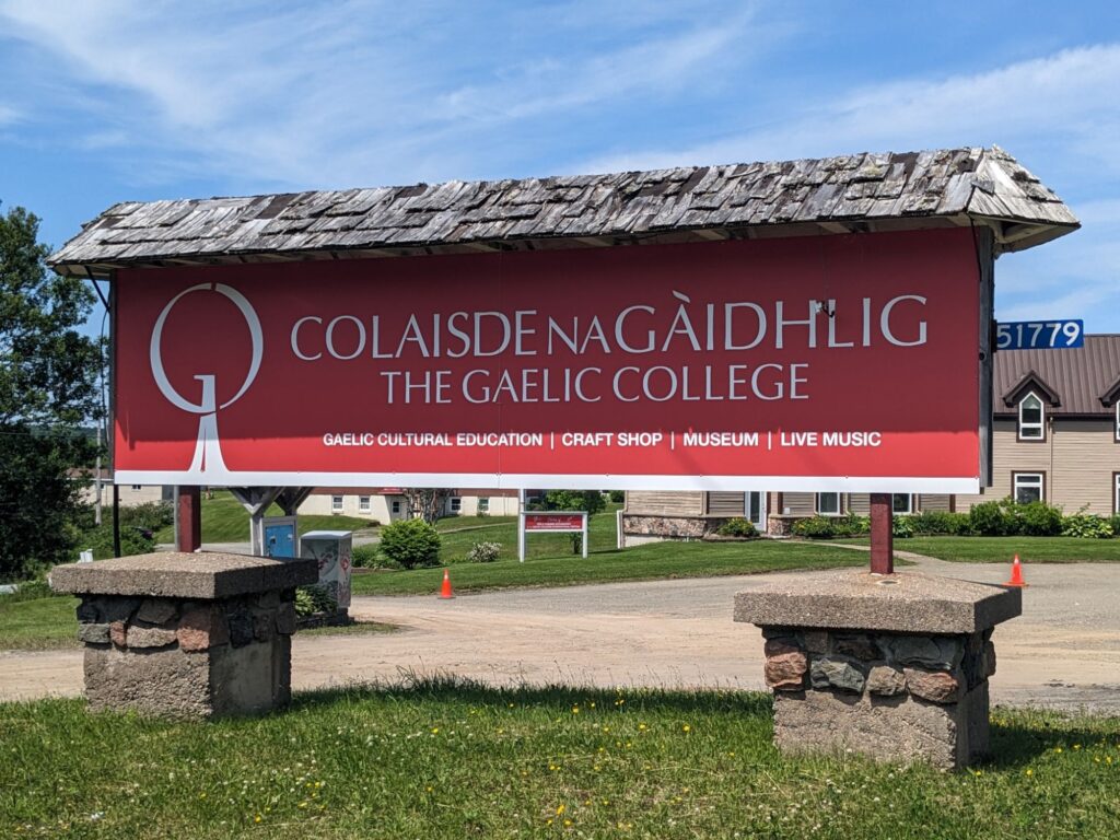
We arrive at The Gaelic College on this, the final day of KitchenFest! only to miss out on what must have been a fun-filled and educational morning.
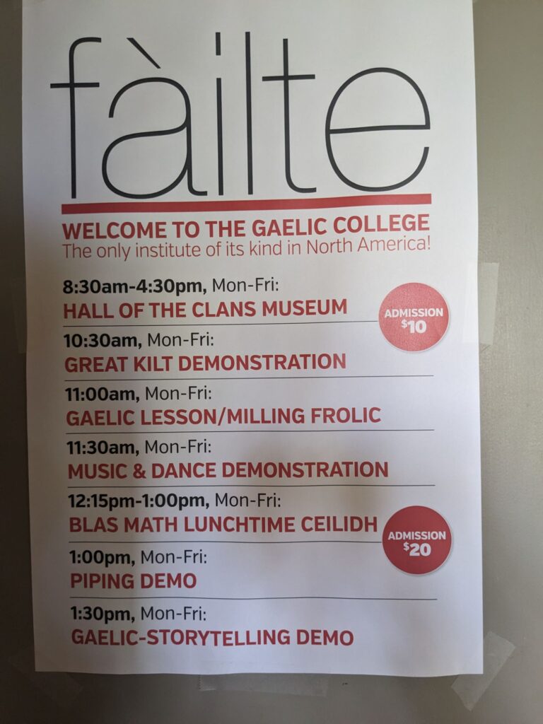
We were able to see the final two events listed here.
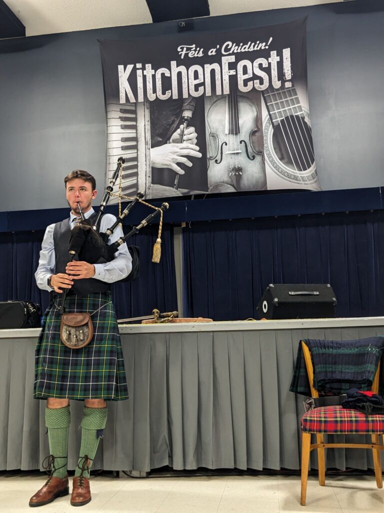
This shy, young man was more comfortable playing the pipes than he was at chatting to a group of folks with all eyes upon him.
The final event of the day was a story-teller. She explained the importance and tradition of story-telling along with telling some funny, some dark humor, some informative stories. First she told in the beautiful, lilting Gaelic language followed by the English translation. Although the Gaelic language was forbidden in schools and shamed in public during times past, it is re-bounding in this area and fortunate too, as the elders who were born and lived with the language are becoming fewer and fewer.
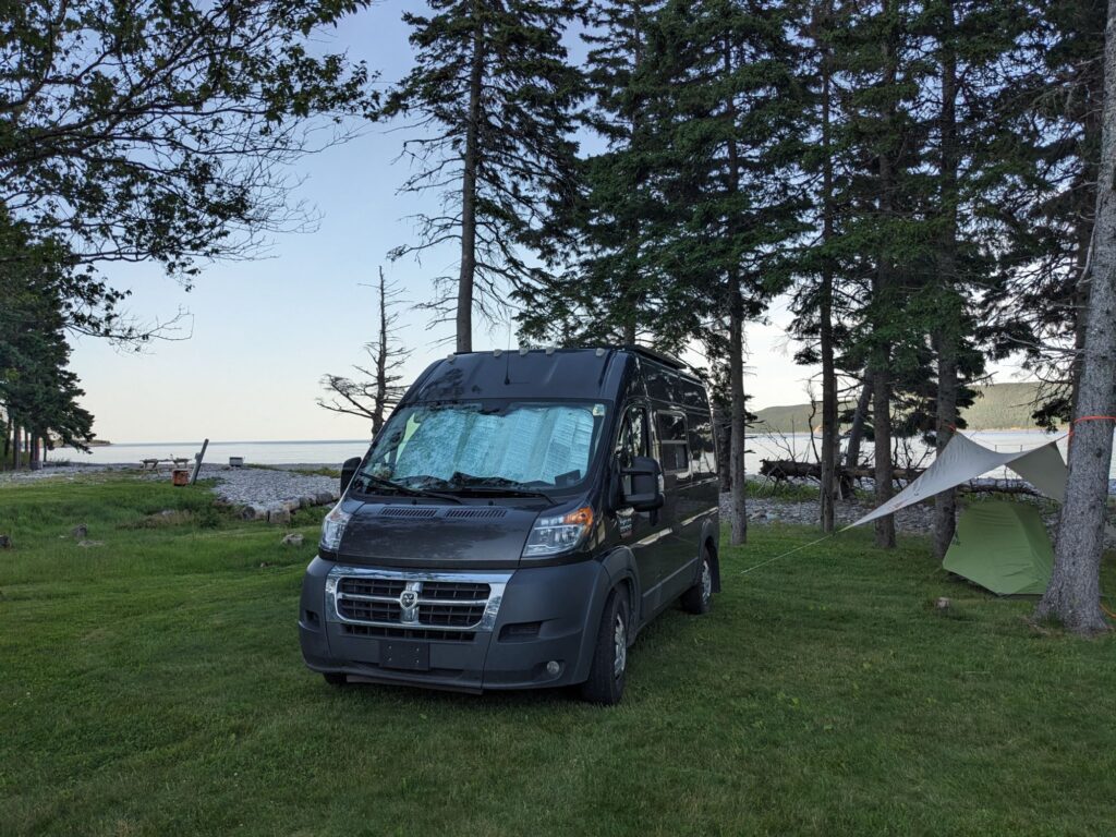
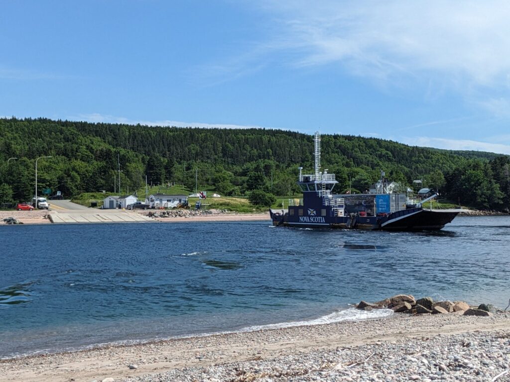
We find camping at Joyful Journeys on St. Ann’s Bay. The bugs were annoying but the views were spectacular. Looking up St. Ann’s Bay, we were looking out at the Atlantic Ocean way, way out there seen to the left of SaVannah. The ferry photo is one of several car/passenger ferries on the Island. Transporting people and goods across narrow waterways it eliminates many additional miles one would otherwise have to travel. The fuel propulsion cable ferry is free. Sometimes there’s a line, but it’s only a 5 minute crossing, so the wait isn’t long.

I’m really enjoying following along with your travels. Thanks, Kay! An evening in Cheticamp at the Doryman Pub, listening to fiddle tunes, sipping a beer, eating local fare, talking to locals, after of day of stunning scenery is pretty much what travel is all about. Going to the KitchenFest at the Gaelic College looks pretty cool. Glad you caught a bit of it at the end of the event!
Thanks Berta! It certainly was a fun time!